What Country Was Ipoh In?
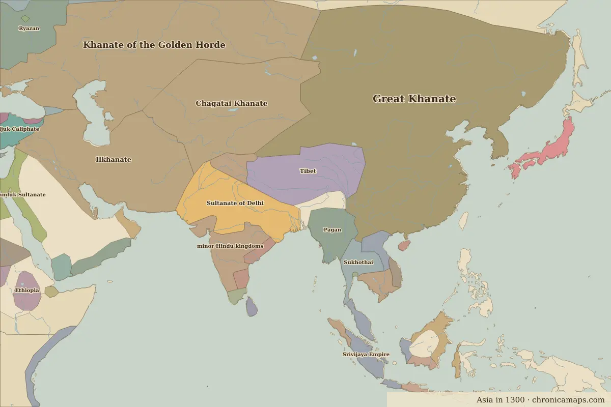
Ipoh (Perak, Malaysia) lies within 6 different states on Chronica Maps' 39 historical border maps. The longest stretch is under Srivijaya Empire, from 1200 to 1491. The earliest state recorded here is Mon-Khmer (200 BC).
Who ruled Ipoh?
| Period (by border map) | Ruled by |
|---|---|
| 500 BC – 401 BC | Unclaimed / no data |
| 400 BC – 324 BC | Austro-Asiatic rice cultures |
| 323 BC – 201 BC | Unclaimed / no data |
| 200 BC – 101 BC | Mon-Khmer |
| 100 BC – AD 599 | Unclaimed / no data |
| AD 600 – AD 799 | minor states under Indian influence |
| AD 800 – AD 899 | minor Hindu and Buddhist states |
| AD 900 – 1099 | Srivijaya Empire |
| 1100 – 1199 | minor Hindu and Buddhist states |
| 1200 – 1491 | Srivijaya Empire |
| 1492 – 1649 | Ayutthaya |
| 1650 – 1919 | Malaya |
| 1920 – today | Malaysia |
 Ipoh
Historic cities nearby
Based on approximate historical borders; towns close to a frontier may be assigned to a neighbouring state.
Last updated 9 November 2026. Sources: border data from historical-basemaps, land and rivers from Natural Earth; texts written for Chronica Maps from standard reference works. How we make the maps.