Polynesian settlement 1000–1606
Māori reach New Zealand and the moai rise on Easter Island.
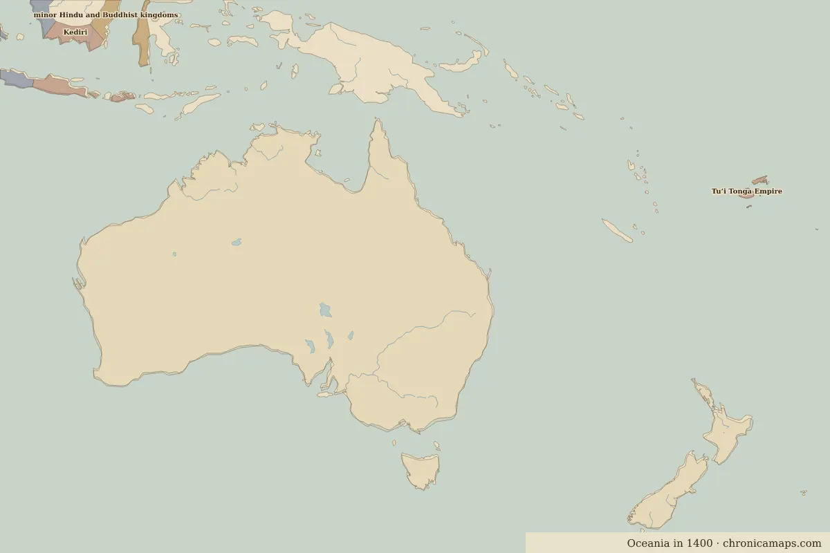
Open the Polynesian settlement in the interactive map
Border maps in this era
- The world in 1000
- The world in 1100
- The world in 1200
- The world in 1300
- The world in 1400
- The world in 1492
- The world in 1500
- The world in 1600
← Austronesian voyagingEuropean exploration →
Last updated 9 November 2026. Sources: border data from historical-basemaps, land and rivers from Natural Earth; texts written for Chronica Maps from standard reference works. How we make the maps.