European exploration 1606–1788
Dutch navigators and Captain Cook chart the coasts of Australia and New Zealand.
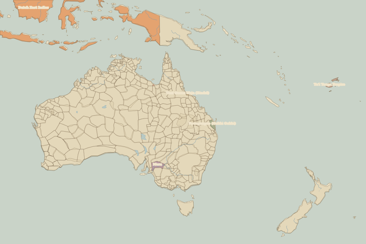
Open the European exploration in the interactive map
Border maps in this era
Battles and sites
- Botany Bay · 1770
Dutch navigators and Captain Cook chart the coasts of Australia and New Zealand.
Open the European exploration in the interactive map