Botany Bay 1770
Captain Cook lands at Botany Bay and soon claims Australia's east coast for Britain; the First Fleet follows eighteen years later.
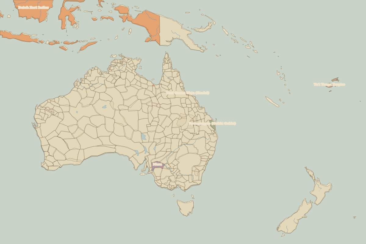 Botany Bay
Open Botany Bay in the interactive map
Key facts
| Date | 1770 |
| Type | Historic site or event |
| Location | -33.98° N, 151.20° E |
| Nearest city on the map | Sydney (about 12 km) |
| Territory of (map of 1700) | Tharawal |
Rulers in 1770
| Realm | Ruler | Reign |
|---|---|---|
| Franks / HRE / Germany | Joseph II | 1765–1790 |
| France | Louis XV | 1715–1774 |
| England / UK | George III | 1760–1820 |
| Spain | Charles III | 1759–1788 |
| Rus' / Russia | Catherine II | 1762–1796 |