Central African Republic Through History: Who Ruled Its Lands
The land of today's Central African Republic appears on 39 historical border maps from 500 BC to today. Over that time it was held, in whole or in part, by 5 different states, among them Central African Republic, French Equatorial Africa, French West Africa, Kamerun, Bagirmi.
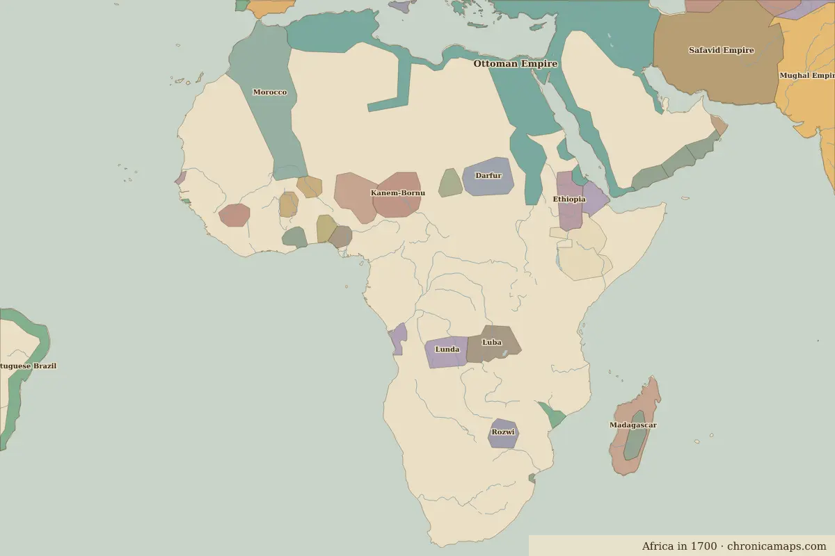 Central African Republic
Explore the history of Central African Republic in the interactive map
Compare 1000 with today · Central African Republic as a state on the map
Who ruled the land of Central African Republic, map by map
Share of sample points inside today's borders held by each state on each map. Areas with no organised state on the map are left out.
| Map | Main states on this land |
|---|---|
| 1783 | Bagirmi 15% |
| 1800 | Bagirmi 15% |
| 1914 | French West Africa 63% · Kamerun 38% |
| 1920 | French Equatorial Africa 100% |
| 1930 | French Equatorial Africa 100% |
| 1938 | French Equatorial Africa 100% |
| 1945 | Central African Republic 100% |
| 1960 | Central African Republic 100% |
| 1994 | Central African Republic 100% |
| 2010 | Central African Republic 100% |
Questions
Which empires and states ruled the territory of Central African Republic?
On the border maps from 500 BC to today, the largest shares of the territory of modern Central African Republic belonged to Central African Republic, French Equatorial Africa, French West Africa, Kamerun, Bagirmi.
Further reading
- History of Central African Republic in Encyclopaedia Britannica
- History of Central African Republic on Wikipedia
Last updated 9 November 2026. Sources: border data from historical-basemaps, land and rivers from Natural Earth; texts written for Chronica Maps from standard reference works. How we make the maps.