Mombasa: History, Former Names & Timeline
Swahili coast port where the Portuguese built Fort Jesus.
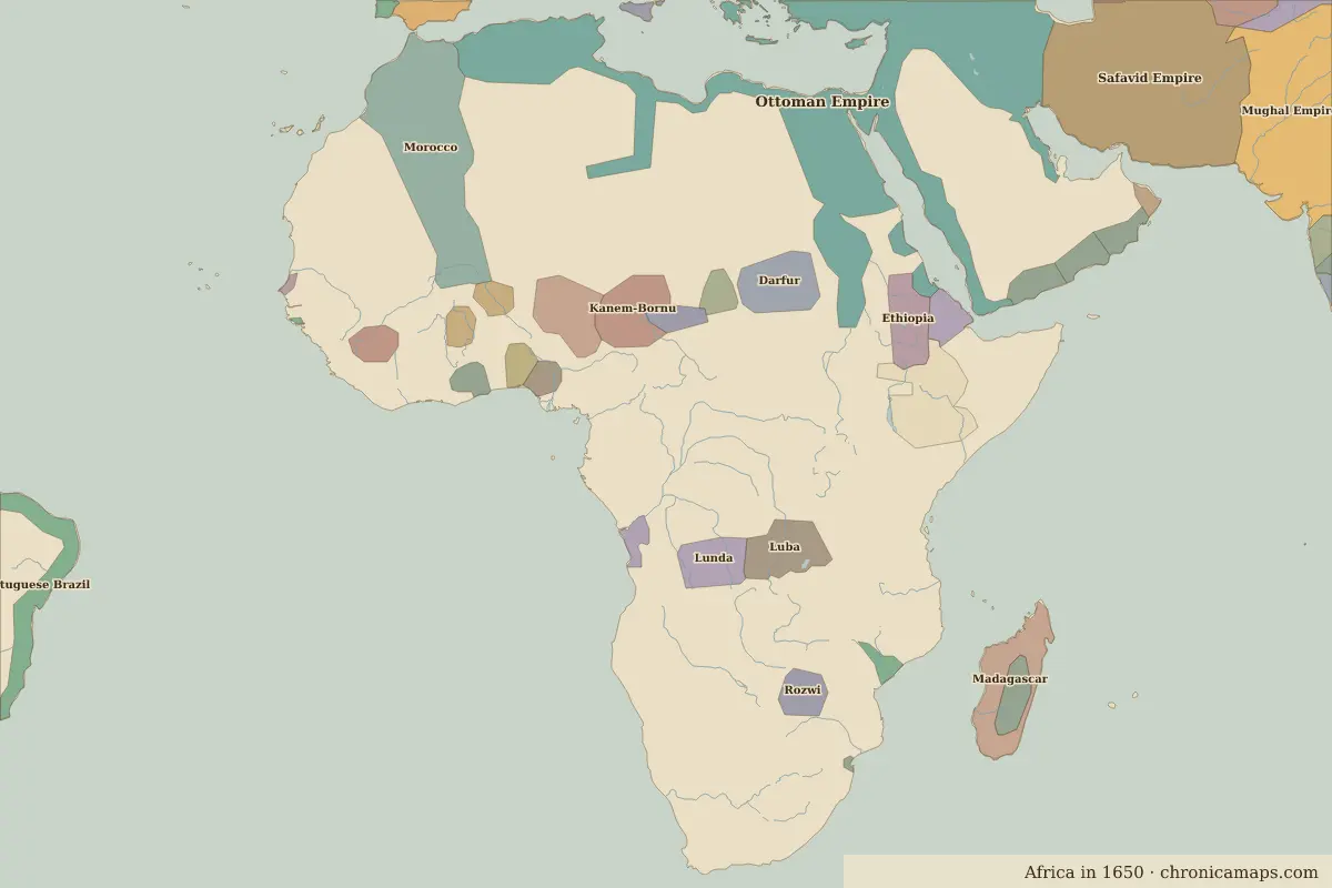 Mombasa
Explore Mombasa in the interactive map
Former names of Mombasa
| From | Name | Note |
|---|---|---|
| AD 900 | Mombasa |
Timeline of Mombasa
| Year | Event |
|---|---|
| 1498 | Vasco da Gama arrives |
| 1593 | The Portuguese build Fort Jesus |
| 1698 | Omani forces take Fort Jesus |
| 1895 | Becomes capital of the British East Africa Protectorate |
Who ruled Mombasa
Derived from the border maps; each row runs until the next recorded border change.
| Period | State |
|---|---|
| 500 BC–799 | Khoisan |
| 800–999 | Bantu peoples |
| 1000–1649 | Islamic city-states |
| 1650–1782 | Unclaimed / no data |
| 1783–1879 | Zanzibar |
| 1880–1913 | Sultanate of Zanzibar |
| 1914–1919 | British East Africa |
| 1920–today | Kenya |
Nearby cities
Further reading
Questions about Mombasa
Which states have ruled Mombasa?
On the historical border maps from 500 BC to today, Mombasa lies within 7 different states: Khoisan, Bantu peoples, Islamic city-states, Zanzibar, Sultanate of Zanzibar, British East Africa, Kenya.
What are the key dates in the history of Mombasa?
1498: Vasco da Gama arrives. 1593: The Portuguese build Fort Jesus. 1698: Omani forces take Fort Jesus. 1895: Becomes capital of the British East Africa Protectorate.
Last updated 9 November 2026. Sources: border data from historical-basemaps, land and rivers from Natural Earth; texts written for Chronica Maps from standard reference works. How we make the maps.