Templo Mayor: Then and Now
Twin temple at the heart of Tenochtitlan, rededicated in 1487. The Spanish demolished it after the conquest and built Mexico City's cathedral beside its site.
As it was


The site today


Key facts
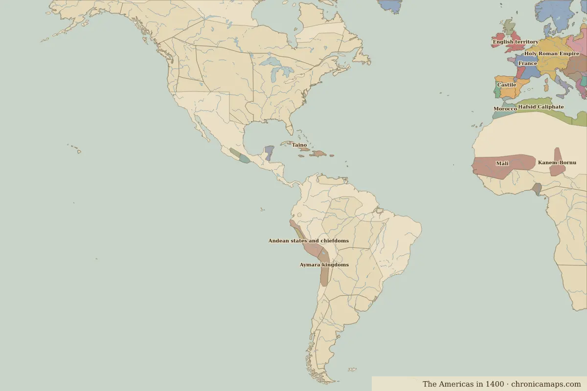 Templo Mayor
Open Templo Mayor in the interactive map
Who ruled this place
Derived from the border maps; each row runs until the next recorded border change.
| Period | State |
|---|---|
| 500 BC–324 BC | Maize farmers |
| 323 BC–799 | Teotihuacan |
| 800–1299 | Toltec Empire |
| 1300–1491 | Mixtec Empire |
| 1492–1499 | Mexihcah (Triple Alliance) |
| 1500–1599 | Aztec Empire |
| 1600–1879 | Viceroyalty of New Spain |
| 1880–today | Mexico |
Other landmarks nearby
 TeotihuacanRuins · AD 200
Battles and sites nearby
- Teotihuacan · AD 450
- Battle of Fall of Tenochtitlan · 1521
More: Historic landmarks of Mexico · All landmarks
Further reading
Last updated 9 November 2026. Sources: border data from historical-basemaps, land and rivers from Natural Earth; texts written for Chronica Maps from standard reference works. How we make the maps.