Battle of Fall of Tenochtitlan 1521
Cortés and his Tlaxcalan allies besiege the city for seventy-five days; amid smallpox and famine the Aztec Empire falls.
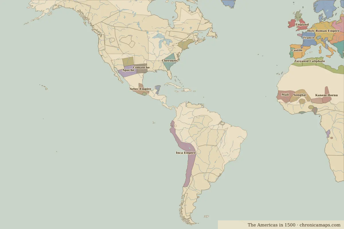 Fall of Tenochtitlan
Open Battle of Fall of Tenochtitlan in the interactive map
Key facts
| Date | 1521 |
| Type | Battle |
| Location | 19.45° N, 99.10° W |
| Nearest city on the map | Mexico City (about 4 km) |
| Territory of (map of 1500) | Aztec Empire |
Rulers in 1521
| Realm | Ruler | Reign |
|---|---|---|
| Spain | Charles I | 1516–1556 |
| Aztecs | Cuauhtémoc | 1520–1521 |
| Inca | Huayna Capac | 1493–1527 |
Other battles and sites nearby
- Teotihuacan · AD 450
Further reading
- Battle of Fall of Tenochtitlan in Encyclopaedia Britannica
- Battle of Fall of Tenochtitlan on Wikipedia
Last updated 9 November 2026. Sources: border data from historical-basemaps, land and rivers from Natural Earth; texts written for Chronica Maps from standard reference works. How we make the maps.