Teotihuacan AD 450
One of the largest ancient cities of the Americas, home to over a hundred thousand people at its height, with the Pyramids of the Sun and Moon along the Avenue of the Dead.
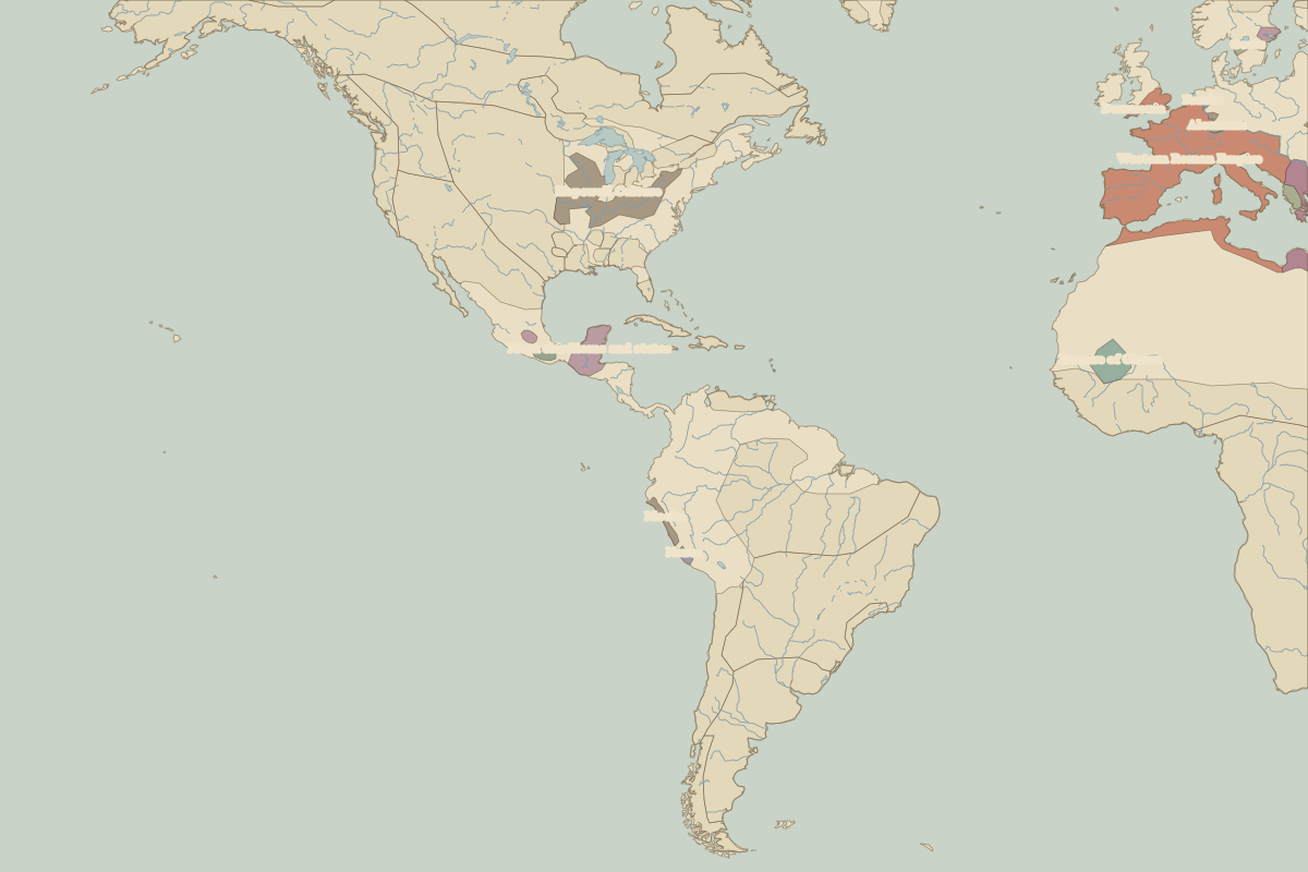 Teotihuacan
Open Teotihuacan in the interactive map
Key facts
| Date | AD 450 |
| Type | Historic site or event |
| Location | 19.69° N, 98.84° W |
| Nearest city on the map | Mexico City (about 42 km) |
| Territory of (map of AD 400) | Teotihuacan |