Teotihuacan: Then and Now
One of the largest cities of the ancient Americas, with the Pyramids of the Sun and the Moon along the Avenue of the Dead; the Aztecs found it already in ruins.
The ruins today


Key facts
| Country today | Mexico |
| Status | Ruins |
| Date | AD 200 |
| Nearest city on the map | Mexico City (about 42 km) |
| Location | 19.692° N, 98.844° W |
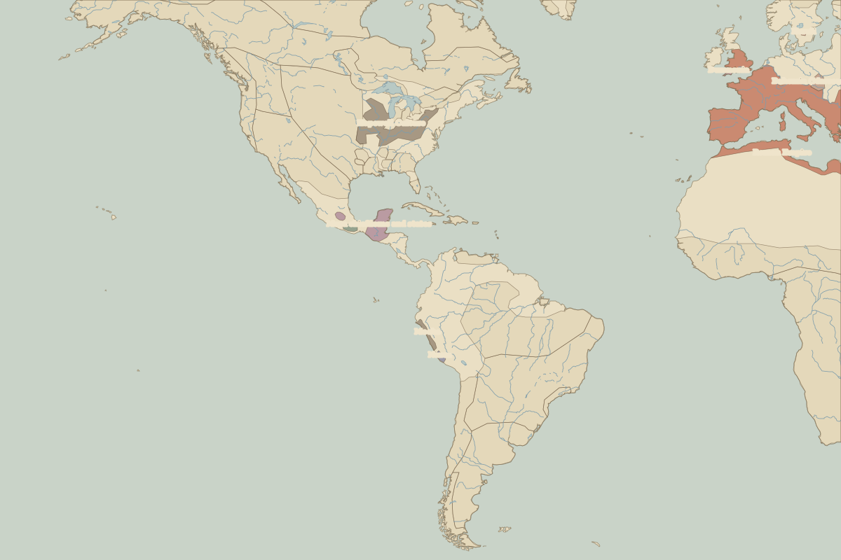 Teotihuacan
Open Teotihuacan in the interactive map
Who ruled this place
Derived from the border maps; each row runs until the next recorded border change.
| Period | State |
|---|---|
| 500 BC–324 BC | Maize farmers |
| 323 BC–799 | Teotihuacan |
| 800–1299 | Toltec Empire |
| 1300–1491 | Unclaimed / no data |
| 1492–1499 | Mexihcah (Triple Alliance) |
| 1500–1599 | Aztec Empire |
| 1600–1879 | Viceroyalty of New Spain |
| 1880–today | Mexico |
Other landmarks nearby
 Templo MayorLost · 1487
Battles and sites nearby
- Teotihuacan · AD 450
- Battle of Fall of Tenochtitlan · 1521