Lübeck: History, Former Names & Timeline
‘Queen of the Hanse’ and hub of Baltic trade, its old town lined with brick Gothic buildings.
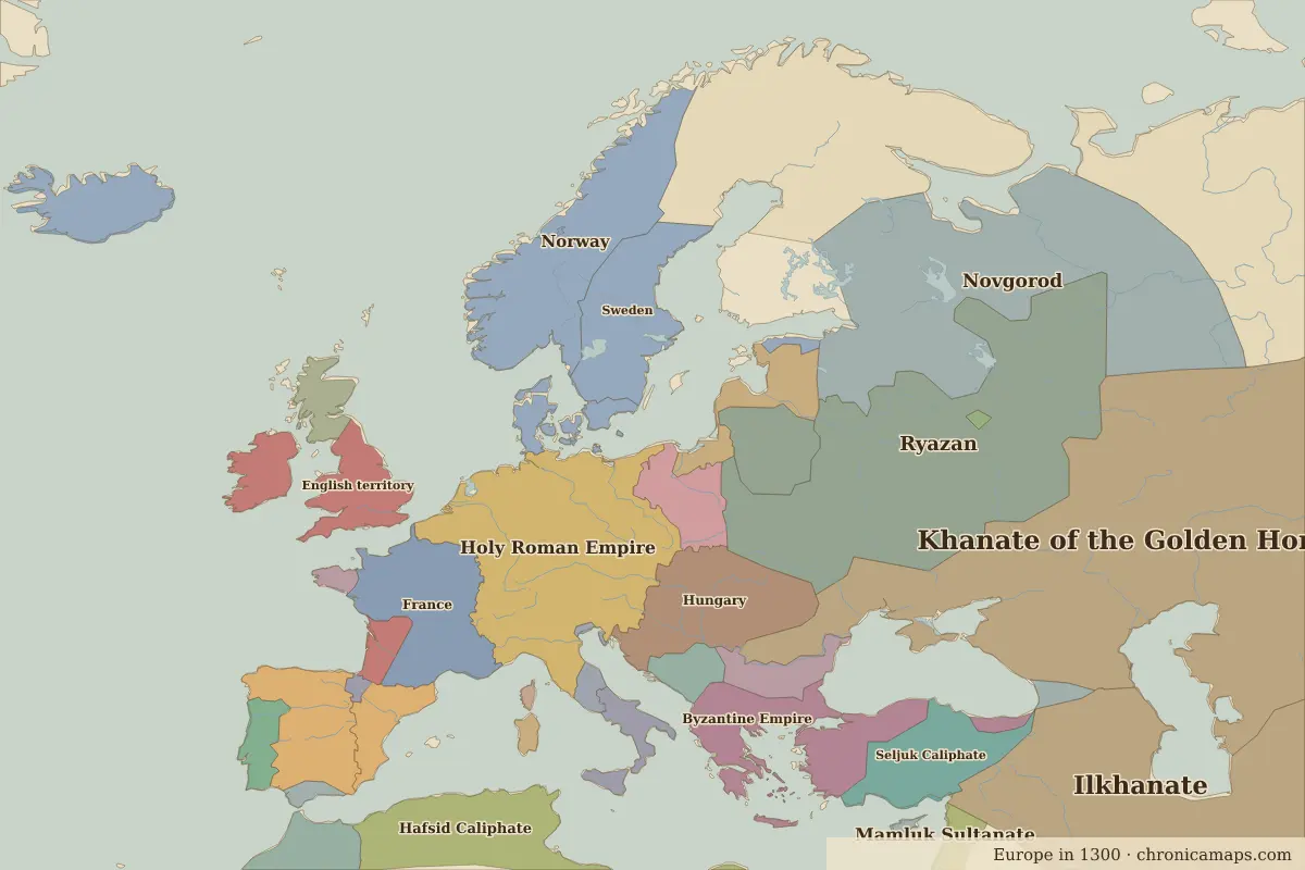 Lübeck
Explore Lübeck in the interactive map
Former names of Lübeck
| From | Name | Note |
|---|---|---|
| 1143 | Lübeck |
Timeline of Lübeck
| Year | Event |
|---|---|
| 1143 | Count Adolf II of Holstein founds the town |
| 1159 | Henry the Lion refounds Lübeck |
| 1226 | Frederick II makes it a Free Imperial City |
| 1356 | The first general Hanseatic Diet meets in Lübeck |
| 1669 | The last Hanseatic Diet is held |
| 1937 | Lübeck loses its independence and is merged into Prussia |
Who ruled Lübeck
Derived from the border maps; each row runs until the next recorded border change.
| Period | State |
|---|---|
| 500 BC–401 BC | Unclaimed / no data |
| 400 BC–324 BC | Hallstatt culture |
| 323 BC–499 | Unclaimed / no data |
| 500–599 | Saxons |
| 600–699 | Unclaimed / no data |
| 700–799 | Proto-Slavs |
| 800–899 | Slavonic tribes |
| 900–999 | Slavic tribes |
| 1000–1099 | Pomerania |
| 1100–1199 | Prussians |
| 1200–1782 | Holy Roman Empire |
| 1783–1879 | Oldenburg |
| 1880–1913 | Germany |
| 1914–1919 | German Empire |
| 1920–1944 | Germany |
| 1945–1959 | Germany (Soviet) |
| 1960–1993 | East Germany |
| 1994–today | Germany |
Nearby cities
- Hamburg · about 58 km
- Copenhagen · about 235 km
- Berlin · about 235 km
Further reading
Questions about Lübeck
Which states have ruled Lübeck?
On the historical border maps from 500 BC to today, Lübeck lies within 13 different states: Hallstatt culture, Saxons, Proto-Slavs, Slavonic tribes, Slavic tribes, Pomerania, Prussians, Holy Roman Empire, Oldenburg, Germany and others.
What are the key dates in the history of Lübeck?
1143: Count Adolf II of Holstein founds the town. 1159: Henry the Lion refounds Lübeck. 1226: Frederick II makes it a Free Imperial City. 1356: The first general Hanseatic Diet meets in Lübeck. 1669: The last Hanseatic Diet is held.
Last updated 9 November 2026. Sources: border data from historical-basemaps, land and rivers from Natural Earth; texts written for Chronica Maps from standard reference works. How we make the maps.