Dhaka: History, Former Names & Timeline
City of the Ganges delta, capital of Mughal Bengal and famed for its fine muslin; today the capital of Bangladesh.
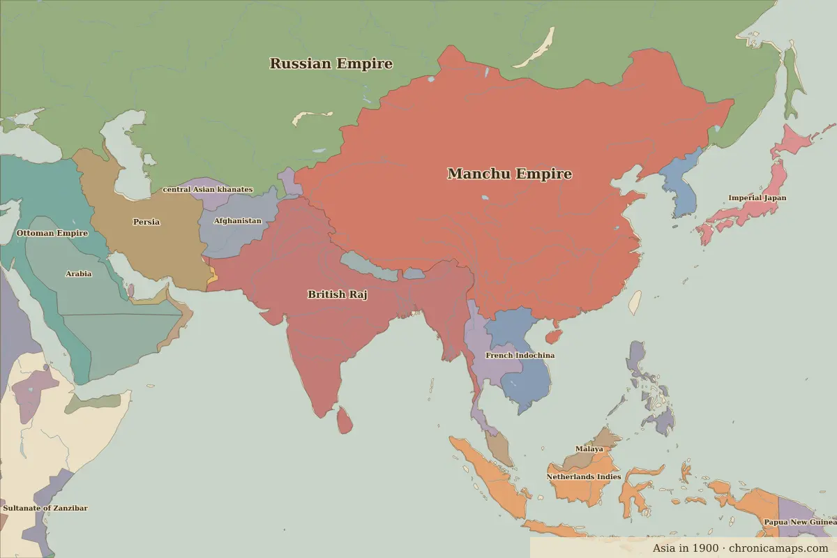 Dhaka
Explore Dhaka in the interactive map
Former names of Dhaka
| From | Name | Note |
|---|---|---|
| 1608 | Jahangirnagar | Mughal capital of Bengal |
| 1717 | Dhaka |
Timeline of Dhaka
| Year | Event |
|---|---|
| 1608 | The Mughals make it the capital of Bengal |
| 1717 | The capital moves to Murshidabad |
| 1905 | With the Partition of Bengal it becomes capital of Eastern Bengal |
| 1947 | Becomes capital of East Pakistan |
| 1971 | Bangladesh becomes independent |
Who ruled Dhaka
Derived from the border maps; each row runs until the next recorded border change.
| Period | State |
|---|---|
| 500 BC–401 BC | Unclaimed / no data |
| 400 BC–301 BC | Magadha |
| 300 BC–2 BC | Mauryan Empire |
| 1 BC–199 | Hindu kingdoms |
| 200–299 | Magadha |
| 300–599 | Gupta Empire |
| 600–699 | Shaskanka |
| 700–1199 | Palas |
| 1200–1299 | Sultanate of Delhi |
| 1300–1491 | Unclaimed / no data |
| 1492–1599 | Bengal |
| 1600–1649 | Islamic and Hindu states |
| 1650–1782 | Mughal Empire |
| 1783–1799 | Bengal |
| 1800–1814 | Bundelkhand |
| 1815–1879 | British East India Company |
| 1880–1944 | British Raj |
| 1945–1959 | Bangladesh |
| 1960–1993 | Pakistan |
| 1994–today | Bangladesh |
Nearby cities
Further reading
Questions about Dhaka
What was Dhaka called in the past?
Dhaka has been known as Jahangirnagar (from 1608, Mughal capital of Bengal). Its present name dates from 1717.
Which states have ruled Dhaka?
On the historical border maps from 500 BC to today, Dhaka lies within 15 different states: Magadha, Mauryan Empire, Hindu kingdoms, Gupta Empire, Shaskanka, Palas, Sultanate of Delhi, Bengal, Islamic and Hindu states, Mughal Empire and others.
What are the key dates in the history of Dhaka?
1608: The Mughals make it the capital of Bengal. 1717: The capital moves to Murshidabad. 1905: With the Partition of Bengal it becomes capital of Eastern Bengal. 1947: Becomes capital of East Pakistan. 1971: Bangladesh becomes independent.
Last updated 9 November 2026. Sources: border data from historical-basemaps, land and rivers from Natural Earth; texts written for Chronica Maps from standard reference works. How we make the maps.