Silk Road: Route Map and History
The overland network linking China with Central Asia, Persia and the Mediterranean. Silk, paper and porcelain travelled west; horses, glass, silver and religions such as Buddhism and Islam travelled east. It opened with Zhang Qian's missions under the Han and declined as sea routes took over.
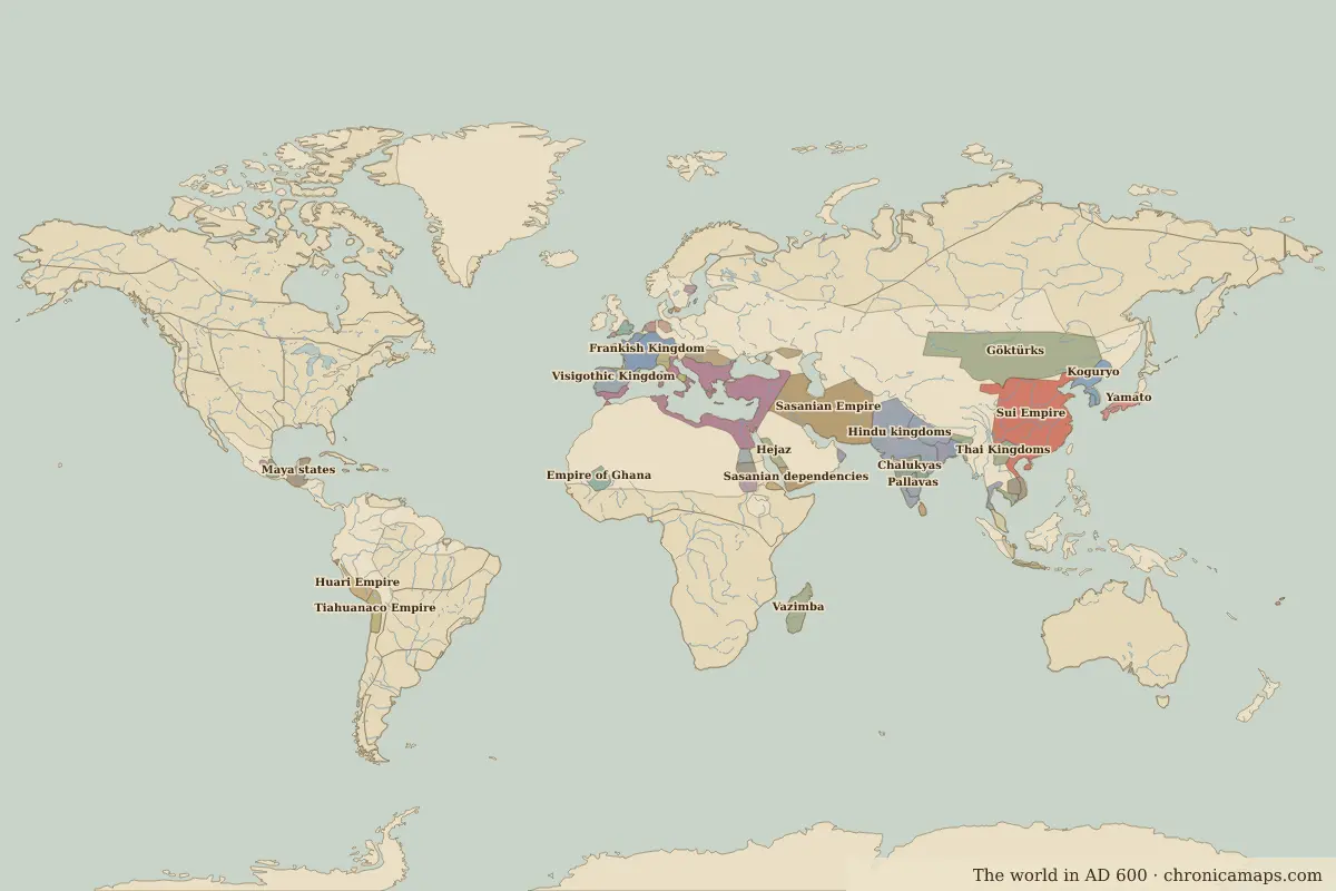
Open the Silk Road in the interactive map
Key facts
| Active | 130 BC – 1450 (approximate) |
| Length shown on the map | about 7,000 km |
| Main stops | 15 |
Stops along the Silk Road
The route is drawn schematically through its main stops; real caravans and ships used many variants. The state columns come from the border maps closest to each year.
Other trade routes
- Maritime Silk Road · 100 BC–1500
- Incense Route · 500 BC–AD 200
- Persian Royal Road · 500 BC–330 BC
- Amber Road · 100 BC–AD 400
- Route from the Varangians to the Greeks · AD 800–1100
- Trans-Saharan Route (western) · AD 300–1600
- Trans-Saharan Route (central) · AD 600–1900
- Hanseatic trade route · 1250–1600
- Cape Route to India · 1498–1869
- Atlantic triangular trade · 1520–1867
Last updated 9 November 2026. Sources: border data from historical-basemaps, land and rivers from Natural Earth; texts written for Chronica Maps from standard reference works. How we make the maps.