Northern Yuan: Map & Borders Over Time
Northern Yuan appears on 1 of the 39 border maps, from 1400 to 1400. Its mapped territory was largest in 1400, at roughly 6.27 million km². Chronica Maps groups it with the Mongols lineage, shown in the same colour across periods.
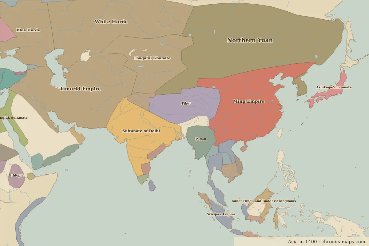
Open 1400 in the interactive map
Territory of Northern Yuan over time
Approximate area on each border map.
| Map year | Approx. area | Change |
|---|---|---|
| 1400 | 6.27 million km² | – |
Cities within Northern Yuan in 1400
Related states in the same lineage
Famous people who lived under the Northern Yuan
| Lived | Person | |
|---|---|---|
| 1397 – 1450 | Sejong the Great | King of Joseon |
Last updated 9 November 2026. Sources: border data from historical-basemaps, land and rivers from Natural Earth; texts written for Chronica Maps from standard reference works. How we make the maps.