Kashgar: History, Former Names & Timeline
Oasis city on the western rim of the Tarim Basin where the northern and southern Silk Roads met.
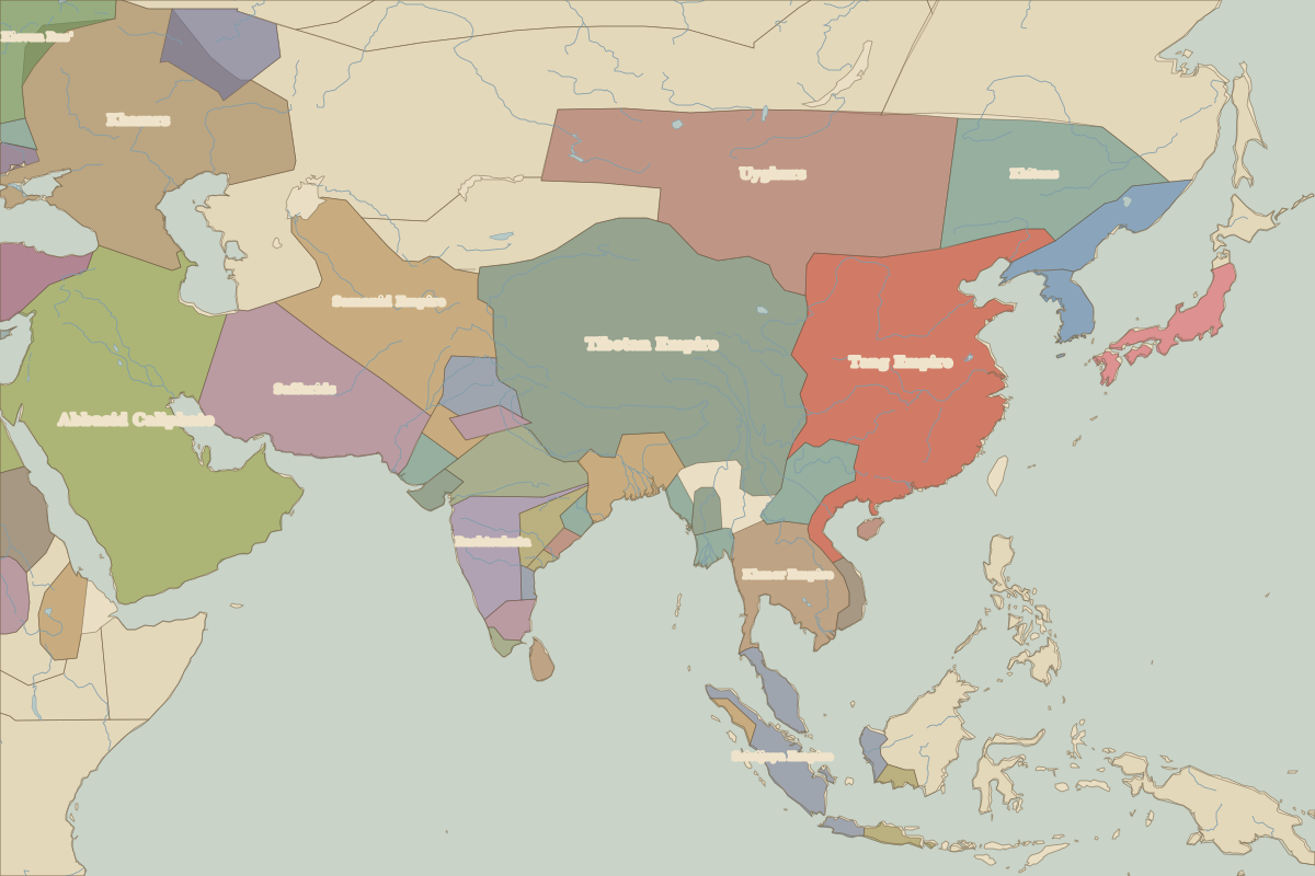 Kashgar
Explore Kashgar in the interactive map
Former names of Kashgar
| From | Name | Note |
|---|---|---|
| 100 BC | Shule | |
| 1000 | Kashgar |
Timeline of Kashgar
| Year | Event |
|---|---|
| 60 BC | The Western Han sets up the Protectorate of the Western Regions; Shule submits |
| AD 934 | The Kara-Khanid rulers convert to Islam and rule from Kashgar |
Who ruled Kashgar
Derived from the border maps; each row runs until the next recorded border change.
| Period | State |
|---|---|
| 500 BC–401 BC | Unclaimed / no data |
| 400 BC–324 BC | Proto-Tibetan cultures |
| 323 BC–201 BC | Unclaimed / no data |
| 200 BC–101 BC | Bactria |
| 100 BC–2 BC | Kushan Empire |
| 1 BC–99 | Unclaimed / no data |
| 100–199 | Kushan Empire |
| 200–699 | Unclaimed / no data |
| 700–799 | Tufan Empire |
| 800–999 | Tibetan Empire |
| 1000–1099 | Unclaimed / no data |
| 1100–1199 | Karkhanids |
| 1200–1299 | Kara Khitai Khaganate |
| 1300–1599 | Chagatai Khanate |
| 1600–1814 | central Asian khanates |
| 1815–1913 | Manchu Empire |
| 1914–1959 | Xinjiang |
| 1960–today | China |