Atlantic triangular trade: Route Map and History
Ships carried manufactured goods from Europe to West Africa, enslaved Africans across the Atlantic (the Middle Passage), and sugar, tobacco and cotton back to Europe. About 12.5 million Africans were embarked.
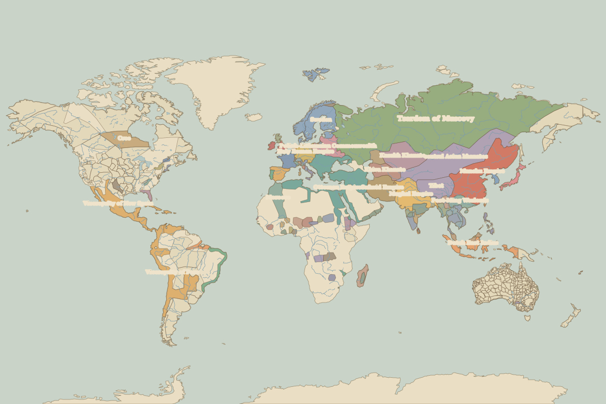
Open the Atlantic triangular trade in the interactive map
Key facts
| Active | 1520 – 1867 (approximate) |
| Length shown on the map | about 22,700 km |
| Main stops | 5 |
Stops along the Atlantic triangular trade
| Stop | Ruled by in 1600 | Ruled by in 1700 | Ruled by in 1800 | Ruled by in 1815 | |
|---|---|---|---|---|---|
| 1 | Liverpool | England and Ireland | England and Ireland | United Kingdom | United Kingdom of Great Britain and Ireland |
| 2 | Gorée | Senegal | Senegal | Senegal | Senegal |
| 3 | Elmina | Unclaimed / no data | Unclaimed / no data | Asante | Fante |
| 4 | Jamaica | Hispaniola (Spain) | Cuba (Spain) | United Kingdom | United Kingdom |
| 5 | Liverpool | England and Ireland | England and Ireland | United Kingdom | United Kingdom of Great Britain and Ireland |
The route is drawn schematically through its main stops; real caravans and ships used many variants. The state columns come from the border maps closest to each year.
Other trade routes
- Silk Road · 130 BC–1450
- Maritime Silk Road · 100 BC–1500
- Incense Route · 500 BC–AD 200
- Persian Royal Road · 500 BC–330 BC
- Amber Road · 100 BC–AD 400
- Route from the Varangians to the Greeks · AD 800–1100
- Trans-Saharan Route (western) · AD 300–1600
- Trans-Saharan Route (central) · AD 600–1900
- Hanseatic trade route · 1250–1600
- Cape Route to India · 1498–1869