Persian Royal Road: Route Map and History
Highway of the Achaemenid kings from Sardis to Susa, about 2,700 km long. Royal couriers with relays of horses covered it in about a week, according to Herodotus.
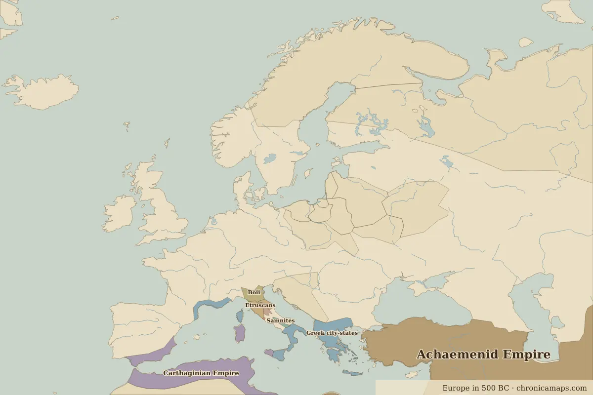
Open the Persian Royal Road in the interactive map
Key facts
| Active | 500 BC – 330 BC (approximate) |
| Length shown on the map | about 2,100 km |
| Main stops | 5 |
Stops along the Persian Royal Road
| Stop | Ruled by in 500 BC | Ruled by in 400 BC | |
|---|---|---|---|
| 1 | Sardis | Achaemenid Empire | Achaemenid Empire |
| 2 | Gordion | Achaemenid Empire | Achaemenid Empire |
| 3 | Halys crossing | Achaemenid Empire | Achaemenid Empire |
| 4 | Arbela | Achaemenid Empire | Achaemenid Empire |
| 5 | Susa | Achaemenid Empire | Achaemenid Empire |
The route is drawn schematically through its main stops; real caravans and ships used many variants. The state columns come from the border maps closest to each year.
Other trade routes
- Silk Road · 130 BC–1450
- Maritime Silk Road · 100 BC–1500
- Incense Route · 500 BC–AD 200
- Amber Road · 100 BC–AD 400
- Route from the Varangians to the Greeks · AD 800–1100
- Trans-Saharan Route (western) · AD 300–1600
- Trans-Saharan Route (central) · AD 600–1900
- Hanseatic trade route · 1250–1600
- Cape Route to India · 1498–1869
- Atlantic triangular trade · 1520–1867
Last updated 9 November 2026. Sources: border data from historical-basemaps, land and rivers from Natural Earth; texts written for Chronica Maps from standard reference works. How we make the maps.