Registan: Then and Now
Heart of Timurid Samarkand, framed by three madrasas: Ulugh Beg's of 1420 and two built in the seventeenth century.
Today


Key facts
| Country today | Uzbekistan |
| Status | Standing |
| Date | 1420 |
| Nearest city on the map | Bukhara (about 219 km) |
| Location | 39.655° N, 66.975° E |
 Registan
Open Registan in the interactive map
Who ruled this place
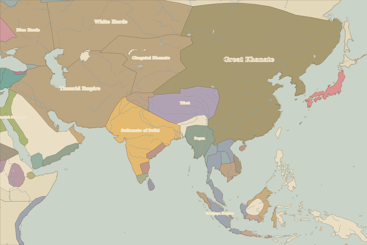
Derived from the border maps; each row runs until the next recorded border change.
| Period | State |
|---|---|
| 500 BC–324 BC | Achaemenid Empire |
| 323 BC–301 BC | Empire of Alexander |
| 300 BC–201 BC | Seleucid Kingdom |
| 200 BC–101 BC | Bactria |
| 100 BC–2 BC | Kushan Empire |
| 1 BC–99 | Unclaimed / no data |
| 100–199 | Kushan Empire |
| 200–699 | Unclaimed / no data |
| 700–799 | Western Gokturk Khaganate |
| 800–899 | Abbasid Caliphate |
| 900–999 | Samanid Empire |
| 1000–1099 | Unclaimed / no data |
| 1100–1199 | Karkhanids |
| 1200–1299 | Kara Khitai Khaganate |
| 1300–1399 | Chagatai Khanate |
| 1400–1491 | Timurid Empire |
| 1492–1599 | Chagatai Khanate |
| 1600–1782 | Khiva Khanate |
| 1783–1814 | central Asian khanates |
| 1815–1879 | Turan |
| 1880–1919 | Russian Empire |
| 1920–1929 | USSR |
| 1930–1937 | White Russia |
| 1938–1993 | USSR |
| 1994–today | Uzbekistan |