Naqsh-e Jahan Square: Then and Now
Vast square laid out by Shah Abbas I in his new capital Isfahan from 1598, framed by the Shah Mosque, the Sheikh Lotfollah Mosque and the Ali Qapu palace.
Historical view


Today


Key facts
| Country today | Iran |
| Status | Standing |
| Date | 1602 |
| Nearest city on the map | Isfahan (about 1 km) |
| Location | 32.657° N, 51.678° E |
 Naqsh-e Jahan Square
Open Naqsh-e Jahan Square in the interactive map
Who ruled this place
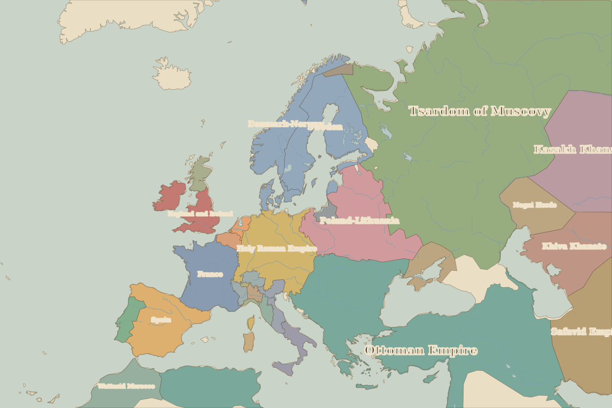
Derived from the border maps; each row runs until the next recorded border change.
| Period | State |
|---|---|
| 500 BC–324 BC | Achaemenid Empire |
| 323 BC–301 BC | Empire of Alexander |
| 300 BC–2 BC | Seleucid Kingdom |
| 1 BC–399 | Parthian Empire |
| 400–499 | Persia |
| 500–699 | Sasanian Empire |
| 700–799 | Umayyad Caliphate |
| 800–899 | Abbasid Caliphate |
| 900–999 | Saffarids |
| 1000–1099 | Buwayhid Emirates |
| 1100–1199 | Seljuk Empire |
| 1200–1299 | Khwarazmian Empire |
| 1300–1399 | Ilkhanate |
| 1400–1491 | Timurid Empire |
| 1492–1599 | Emirate of the White Sheep Turks |
| 1600–1782 | Safavid Empire |
| 1783–1919 | Persia |
| 1920–today | Iran |
Other landmarks nearby
 PersepolisRuins · 518 BC