Khwarazmian Empire: Map & Borders Over Time
Khwarazmian Empire appears on 1 of the 39 border maps, from 1200 to 1200. Its mapped territory was largest in 1200, at roughly 2.10 million km².
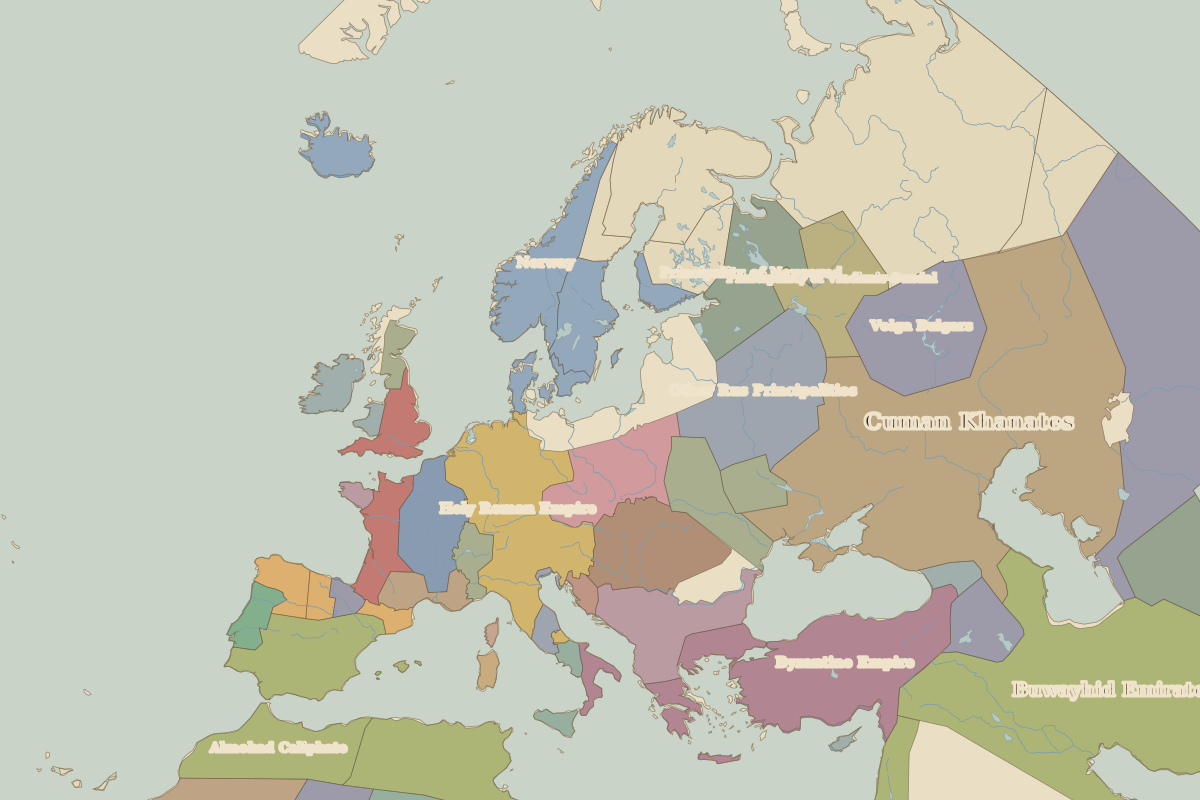
Open 1200 in the interactive map
Territory of Khwarazmian Empire over time
Approximate area on each border map.
| Map year | Approx. area | Change |
|---|---|---|
| 1200 | 2.10 million km² | – |