Persepolis: Then and Now
Ceremonial capital of the Achaemenid kings, begun by Darius I around 518 BC and burned by Alexander the Great in 330 BC.
As it was


The ruins today


Key facts
| Country today | Iran |
| Status | Ruins |
| Date | 518 BC |
| Nearest city on the map | Shiraz (about 50 km) |
| Location | 29.935° N, 52.892° E |
 Persepolis
Open Persepolis in the interactive map
Who ruled this place
Derived from the border maps; each row runs until the next recorded border change.
| Period | State |
|---|---|
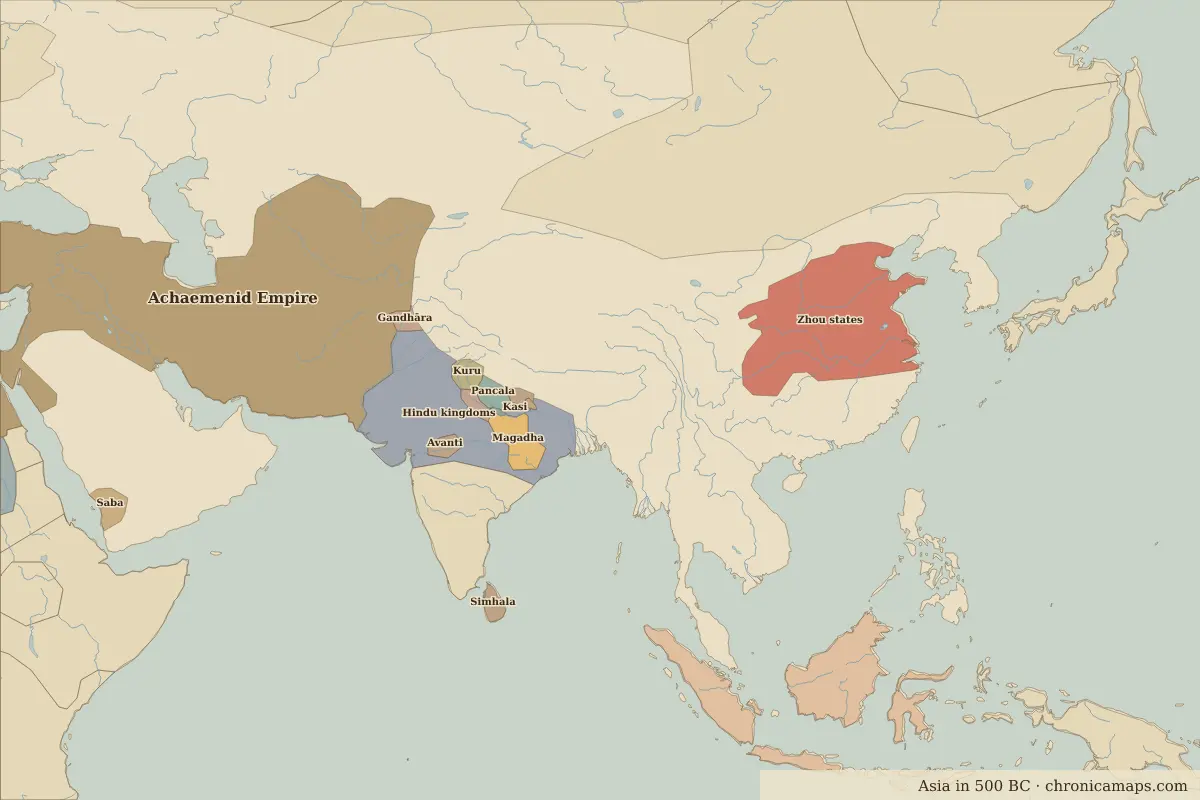
| 500 BC–324 BC | Achaemenid Empire |
| 323 BC–301 BC | Empire of Alexander |
| 300 BC–2 BC | Seleucid Kingdom |
| 1 BC–399 | Parthian Empire |
| 400–499 | Persia |
| 500–699 | Sasanian Empire |
| 700–799 | Umayyad Caliphate |
| 800–899 | Abbasid Caliphate |
| 900–999 | Saffarids |
| 1000–1099 | Buwayhid Emirates |
| 1100–1199 | Seljuk Empire |
| 1200–1299 | Khwarazmian Empire |
| 1300–1399 | Ilkhanate |
| 1400–1491 | Timurid Empire |
| 1492–1599 | Emirate of the White Sheep Turks |
| 1600–1782 | Safavid Empire |
| 1783–1919 | Persia |
| 1920–today | Iran |
Other landmarks nearby
 Naqsh-e Jahan SquareStanding · 1602
More: Historic landmarks of Iran · All landmarks
Further reading
Last updated 9 November 2026. Sources: border data from historical-basemaps, land and rivers from Natural Earth; texts written for Chronica Maps from standard reference works. How we make the maps.