Forbidden City: Then and Now
Imperial palace of the Ming and Qing dynasties, completed in 1420 under the Yongle Emperor; twenty-four emperors lived here until 1912. Since 1925 it has been the Palace Museum.
Historical view


Today


Key facts
| Country today | China |
| Status | Standing |
| Date | 1420 |
| Nearest city on the map | Beijing (about 2 km) |
| Location | 39.916° N, 116.397° E |
 Forbidden City
Open Forbidden City in the interactive map
Who ruled this place
Derived from the border maps; each row runs until the next recorded border change.
| Period | State |
|---|---|
| 500 BC–201 BC | Zhou states |
| 200 BC–2 BC | Han Empire |
| 1 BC–299 | Han |
| 300–399 | Jin |
| 400–499 | Sixteen Kingdoms |
| 500–599 | Toba Wei |
| 600–699 | Sui Empire |
| 700–999 | Tang Empire |
| 1000–1199 | Liao |
| 1200–1299 | Jin Empire |
| 1300–1399 | Great Khanate |
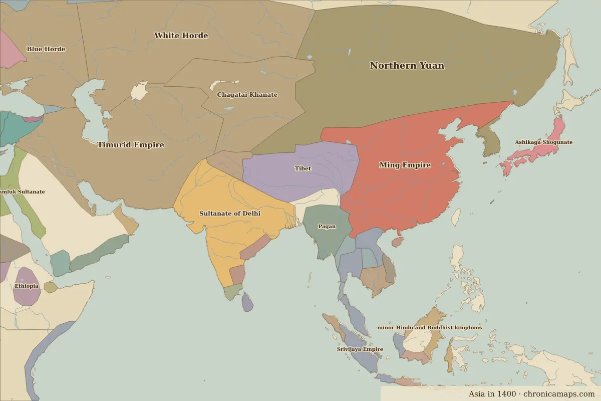
| 1400–1499 | Ming Empire |
| 1500–1649 | Ming Chinese Empire |
| 1650–1782 | Manchu Empire |
| 1783–1814 | Qing Empire |
| 1815–1919 | Manchu Empire |
| 1920–1937 | Chinese Warlords |
| 1938–1944 | Chinese warlords |
| 1945–today | China |
Other landmarks nearby
 Old Summer PalaceRuins · 1709
 Great Wall at BadalingStanding · 1505
Battles and sites nearby
- Battle of Tumu Fortress · 1449
More: Historic landmarks of China · All landmarks
Further reading
Last updated 9 November 2026. Sources: border data from historical-basemaps, land and rivers from Natural Earth; texts written for Chronica Maps from standard reference works. How we make the maps.