Great Wall at Badaling: Then and Now
The most visited stretch of the Great Wall, rebuilt in brick and stone under the Ming in 1505 to guard the approach to Beijing from the north.
Today


Key facts
| Country today | China |
| Status | Standing |
| Date | 1505 |
| Nearest city on the map | Beijing (about 61 km) |
| Location | 40.360° N, 116.016° E |
 Great Wall at Badaling
Open Great Wall at Badaling in the interactive map
Who ruled this place
Derived from the border maps; each row runs until the next recorded border change.
| Period | State |
|---|---|
| 500 BC–401 BC | Zhou states |
| 400 BC–324 BC | Proto-Thai cultures |
| 323 BC–201 BC | Zhou states |
| 200 BC–2 BC | Han Empire |
| 1 BC–299 | Han |
| 300–399 | Jin |
| 400–499 | Sixteen Kingdoms |
| 500–599 | Toba Wei |
| 600–699 | Sui Empire |
| 700–999 | Tang Empire |
| 1000–1199 | Liao |
| 1200–1299 | Jin Empire |
| 1300–1399 | Great Khanate |
| 1400–1499 | Ming Empire |
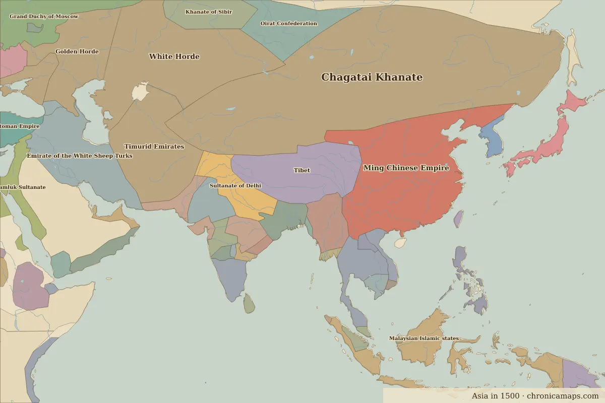
| 1500–1649 | Ming Chinese Empire |
| 1650–1782 | Manchu Empire |
| 1783–1814 | Qing Empire |
| 1815–1919 | Manchu Empire |
| 1920–1937 | Chinese Warlords |
| 1938–1944 | Chinese warlords |
| 1945–today | China |
Other landmarks nearby
 Old Summer PalaceRuins · 1709
 Forbidden CityStanding · 1420
Battles and sites nearby
- Battle of Tumu Fortress · 1449
More: Historic landmarks of China · All landmarks
Further reading
Last updated 9 November 2026. Sources: border data from historical-basemaps, land and rivers from Natural Earth; texts written for Chronica Maps from standard reference works. How we make the maps.