Battle of Tumu Fortress 1449
Esen of the Oirats routs the Ming army and captures the Zhengtong Emperor; the Ming turns defensive and later builds the Great Wall on a vast scale.
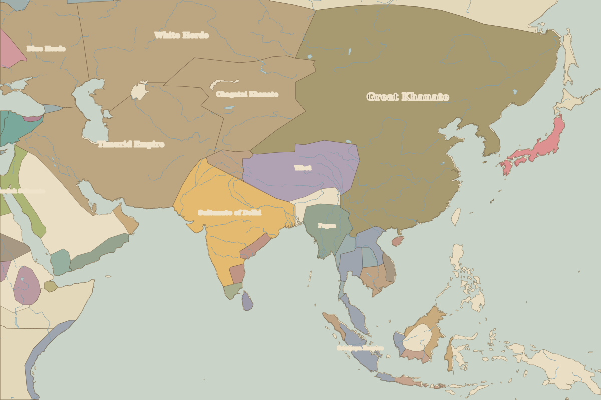 Tumu Fortress
Open Battle of Tumu Fortress in the interactive map
Key facts
| Date | 1449 |
| Type | Battle |
| Location | 40.40° N, 115.50° E |
| Nearest city on the map | Beijing (about 95 km) |
| Territory of (map of 1400) | Great Khanate |
Rulers in 1449
| Realm | Ruler | Reign |
|---|---|---|
| Byzantium | Constantine XI | 1449–1453 |
| Franks / HRE / Germany | Frederick III | 1440–1493 |
| France | Charles VII | 1422–1461 |
| England / UK | Henry VI | 1422–1461 |
| Ottomans / Turkey | Murad II | 1421–1451 |