Djenné: History, Former Names & Timeline
Market town of the inland Niger delta which, with Timbuktu, was a centre of Islamic learning and trade in West Africa; famous for its mud-brick Great Mosque.
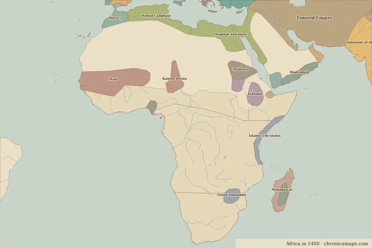 Djenné
Explore Djenné in the interactive map
Former names of Djenné
| From | Name | Note |
|---|---|---|
| 250 BC | Djenné-Djenno | early town |
| 1000 | Djenné |
Timeline of Djenné
| Year | Event |
|---|---|
| 250 BC | Djenné-Djenno grows into one of the earliest towns south of the Sahara |
| 1240 | The ruler of Djenné converts to Islam (about this date) |
| 1473 | Sonni Ali of Songhai takes Djenné |
| 1591 | Moroccan forces occupy Djenné |
| 1907 | The Great Mosque is rebuilt |
Who ruled Djenné
Derived from the border maps; each row runs until the next recorded border change.
| Period | State |
|---|---|
| 500 BC–101 BC | Saharan pastoral nomads |
| 100 BC–699 | Unclaimed / no data |
| 700–799 | Saharan Nomadic Tribes |
| 800–899 | Unclaimed / no data |
| 900–999 | Berbers |
| 1000–1199 | Unclaimed / no data |
| 1200–1299 | Berber Tribes |
| 1300–1491 | Mali |
| 1492–1649 | Songhai |
| 1650–1782 | Unclaimed / no data |
| 1783–1814 | Segu |
| 1815–1879 | Kaarta |
| 1880–1913 | Tukular Caliphate |
| 1914–1944 | French West Africa |
| 1945–today | Mali |
Nearby cities
Further reading
Questions about Djenné
What was Djenné called in the past?
Djenné has been known as Djenné-Djenno (from 250 BC, early town). Its present name dates from 1000.
Which states have ruled Djenné?
On the historical border maps from 500 BC to today, Djenné lies within 10 different states: Saharan pastoral nomads, Saharan Nomadic Tribes, Berbers, Berber Tribes, Mali, Songhai, Segu, Kaarta, Tukular Caliphate, French West Africa.
What are the key dates in the history of Djenné?
250 BC: Djenné-Djenno grows into one of the earliest towns south of the Sahara. 1240: The ruler of Djenné converts to Islam (about this date). 1473: Sonni Ali of Songhai takes Djenné. 1591: Moroccan forces occupy Djenné. 1907: The Great Mosque is rebuilt.
Last updated 9 November 2026. Sources: border data from historical-basemaps, land and rivers from Natural Earth; texts written for Chronica Maps from standard reference works. How we make the maps.