Anyang: History, Former Names & Timeline
Site of Yin, the late Shang capital; the oracle bones found here carry the earliest systematic Chinese writing.
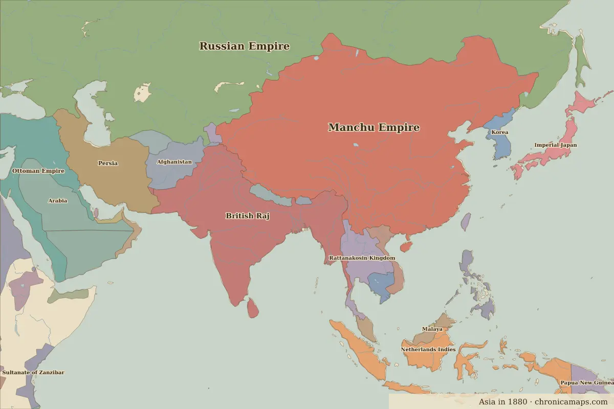 Anyang
Explore Anyang in the interactive map
Former names of Anyang
| From | Name | Note |
|---|---|---|
| 1300 BC | Yin | late Shang capital |
| 1200 | Anyang |
Timeline of Anyang
| Year | Event |
|---|---|
| 1300 BC | The Shang king Pan Geng moves the capital to Yin (about this date) |
| 1046 BC | Battle of Muye: King Wu of Zhou overthrows the Shang |
| 1899 | Wang Yirong identifies oracle-bone writing |
| 1928 | Archaeological excavation of Yinxu begins |
| 2006 | Yinxu becomes a World Heritage Site |
Who ruled Anyang
Derived from the border maps; each row runs until the next recorded border change.
| Period | State |
|---|---|
| 500 BC–201 BC | Zhou states |
| 200 BC–2 BC | Han Empire |
| 1 BC–299 | Han |
| 300–499 | Jin |
| 500–599 | Toba Wei |
| 600–699 | Sui Empire |
| 700–999 | Tang Empire |
| 1000–1299 | Song Empire |
| 1300–1399 | Great Khanate |
| 1400–1499 | Ming Empire |
| 1500–1649 | Ming Chinese Empire |
| 1650–1782 | Manchu Empire |
| 1783–1814 | Qing Empire |
| 1815–1919 | Manchu Empire |
| 1920–1937 | Chinese Warlords |
| 1938–1944 | Chinese warlords |
| 1945–today | China |
Battles and sites near Anyang
- Battle of Changping · 260 BC
Nearby cities
Further reading
Questions about Anyang
What was Anyang called in the past?
Anyang has been known as Yin (from 1300 BC, late Shang capital). Its present name dates from 1200.
Which states have ruled Anyang?
On the historical border maps from 500 BC to today, Anyang lies within 16 different states: Zhou states, Han Empire, Han, Jin, Toba Wei, Sui Empire, Tang Empire, Song Empire, Great Khanate, Ming Empire and others.
What are the key dates in the history of Anyang?
1300 BC: The Shang king Pan Geng moves the capital to Yin (about this date). 1046 BC: Battle of Muye: King Wu of Zhou overthrows the Shang. 1899: Wang Yirong identifies oracle-bone writing. 1928: Archaeological excavation of Yinxu begins. 2006: Yinxu becomes a World Heritage Site.
Last updated 9 November 2026. Sources: border data from historical-basemaps, land and rivers from Natural Earth; texts written for Chronica Maps from standard reference works. How we make the maps.