Home › Battles & sites › Battle of Kohima Battle of Kohima 1944
British and Indian troops at Kohima and Imphal throw back the Japanese offensive, ending Japan's plan to invade India.
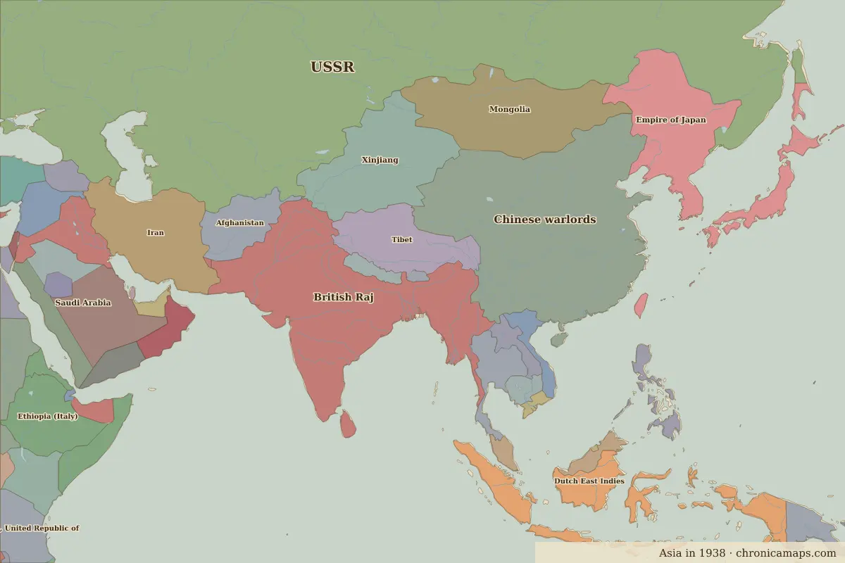
Kohima Border map for 1938. See the world in 1938 . Open Battle of Kohima in the interactive map
Embed this interactive map on your site Free to use on blogs, school pages and course sites. Copy the code below; please keep the credit line.
Key facts
Date 1944 Type Battle Location 25.67° N, 94.11° E Nearest city on the map Dhaka (about 427 km)Territory of (map of 1938) British Raj
Rulers in 1944 Realm Ruler Reign Rus' / Russia Stalin 1924–1953 China Chiang Kai-shek 1928–1949 Japan (de facto ruler) Emperor Shōwa (Hirohito) 1926–1989
The world around 1944
Further reading Who was alive at the time
Last updated 9 November 2026. Sources: border data from historical-basemaps , land and rivers from Natural Earth; texts written for Chronica Maps from standard reference works. How we make the maps .
 Kohima