Home › Battles & sites › Battle of Okinawa Battle of Okinawa 1945
One of the bloodiest landings of the Pacific War, in which a great many Okinawan civilians die.
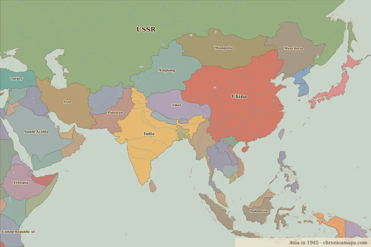
Okinawa Border map for 1945. See the world in 1945 . Open Battle of Okinawa in the interactive map
Embed this interactive map on your site Free to use on blogs, school pages and course sites. Copy the code below; please keep the credit line.
Key facts
Date 1945 Type Battle Location 26.33° N, 127.80° E Territory of (map of 1945) Unclaimed / no data
Rulers in 1945 Realm Ruler Reign Rus' / Russia Stalin 1924–1953 China Chiang Kai-shek 1928–1949 Japan (de facto ruler) Emperor Shōwa (Hirohito) 1926–1989
The world around 1945
Further reading Who was alive at the time Lived Person 1890 – 1969 Ho Chi Minh Vietnamese revolutionary leader
Last updated 9 November 2026. Sources: border data from historical-basemaps , land and rivers from Natural Earth; texts written for Chronica Maps from standard reference works. How we make the maps .
 Okinawa