Abel Tasman
Dutch East India Company navigator who sailed from Batavia in 1642 and became the first European to reach Tasmania and New Zealand.
 Lutjegast
See the world of Abel Tasman in the interactive map
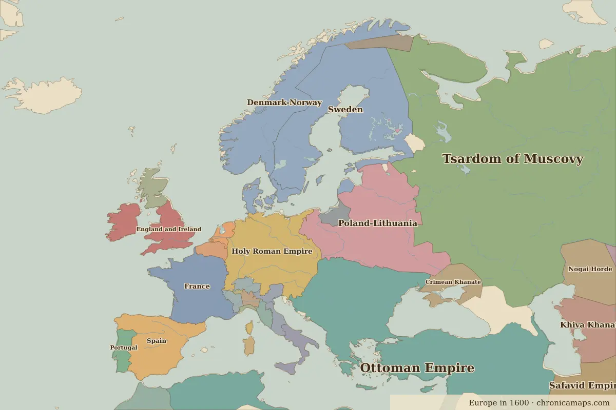
Who ruled these places in his lifetime
| Place | At birth (map of 1600) | At death (map of 1650) |
|---|---|---|
| Lutjegast | Dutch Republic | same |
| Jakarta | Malaysian Islamic states | Dutch East Indies |
| Hobart | Tasmanian hunter-gatherers | same |
From the border maps nearest to each date; borders are approximate.
Events in his lifetime
| Year | Event | Where |
|---|---|---|
| 1619 | Jan Pieterszoon Coen takes Jayakarta and renames it Batavia | Jakarta |
Battles and sites of the time
- Battle of the White Mountain · 1620
- Battle of Lützen · 1632
- Münster · 1648
Further reading
Contemporaries
| Lived | Person | |
|---|---|---|
| c. 1583 – 1663 | Queen Nzinga | Queen of Ndongo and Matamba |
| 1592 – 1666 | Shah Jahan | Mughal emperor |
| 1606 – 1669 | Rembrandt | Painter |
| 1596 – 1650 | René Descartes | Philosopher and mathematician |
| 1618 – 1707 | Aurangzeb | Mughal emperor |
| 1564 – 1642 | Galileo Galilei | Scientist |
| 1577 – 1640 | Peter Paul Rubens | Painter |
| c. 1574 – 1635 | Samuel de Champlain | Explorer |
| 1632 – 1677 | Baruch Spinoza | Philosopher |
| 1571 – 1629 | Shah Abbas I | Safavid shah |
Last updated 9 November 2026. Sources: border data from historical-basemaps, land and rivers from Natural Earth; texts written for Chronica Maps from standard reference works. How we make the maps.