World Trade Center (1973–2001): Then and Now
The Twin Towers, completed in 1973 and for a time the tallest buildings in the world, destroyed in the attacks of 11 September 2001. One World Trade Center now stands nearby.
As it was


The site today


Key facts
| Country today | United States |
| Status | Lost |
| Date | 1973 |
| Nearest city on the map | Philadelphia (about 130 km) |
| Location | 40.712° N, 74.013° W |
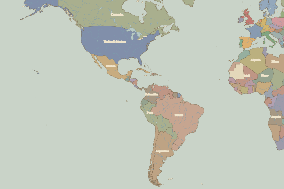 World Trade Center (1973–2001)
Open World Trade Center (1973–2001) in the interactive map
Who ruled this place
Derived from the border maps; each row runs until the next recorded border change.
| Period | State |
|---|---|
| 500 BC–101 BC | Eastern North American hunter-gatherers |
| 100 BC–499 | Unclaimed / no data |
| 500–1491 | Eastern North American hunter-gatherers |
| 1492–1499 | Munsee Lenape |
| 1500–1599 | Delaware |
| 1600–1649 | Montana |
| 1650–1782 | New Amsterdam |
| 1783–1814 | United States of America |
| 1815–1879 | United States |
| 1880–1913 | United States of America |
| 1914–today | United States |
Other landmarks nearby
 Statue of LibertyStanding · 1886
 Independence HallStanding · 1753