Statue of Liberty: Then and Now
Copper statue given by France to the United States, dedicated in New York Harbor in 1886, the first sight of America for millions of immigrants.
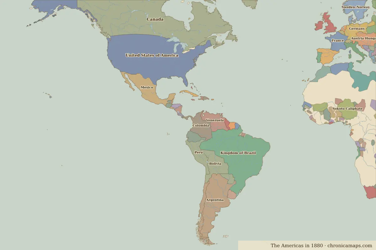
Historical view


Today


Key facts
| Country today | United States |
| Status | Standing |
| Date | 1886 |
| Nearest city on the map | New York (about 4 km) |
| Location | 40.689° N, 74.044° W |
 Statue of Liberty
Open Statue of Liberty in the interactive map
Who ruled this place
Derived from the border maps; each row runs until the next recorded border change.
| Period | State |
|---|---|
| 500 BC–101 BC | Eastern North American hunter-gatherers |
| 100 BC–499 | Unclaimed / no data |
| 500–1491 | Eastern North American hunter-gatherers |
| 1492–1499 | Munsee Lenape |
| 1500–1599 | Delaware |
| 1600–1649 | Montana |
| 1650–1782 | New Amsterdam |
| 1783–1814 | United States of America |
| 1815–1879 | United States |
| 1880–1913 | United States of America |
| 1914–today | United States |
Other landmarks nearby
 World Trade Center (1973–2001)Lost · 1973
 Independence HallStanding · 1753
More: Historic landmarks of United States · All landmarks
Further reading
Last updated 9 November 2026. Sources: border data from historical-basemaps, land and rivers from Natural Earth; texts written for Chronica Maps from standard reference works. How we make the maps.