Sydney Opera House: Then and Now
Jørn Utzon's shell-roofed opera house on Bennelong Point, opened in 1973 and now the symbol of Australia.
Historical view


Today


Key facts
| Country today | Australia |
| Status | Standing |
| Date | 1973 |
| Nearest city on the map | Sydney (about 2 km) |
| Location | 33.857° S, 151.215° E |
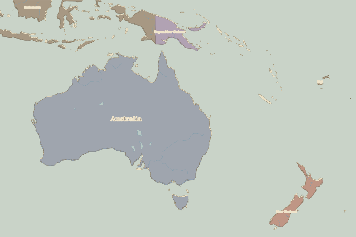 Sydney Opera House
Open Sydney Opera House in the interactive map
Who ruled this place
Derived from the border maps; each row runs until the next recorded border change.
| Period | State |
|---|---|
| 500 BC–1599 | Australian aboriginal hunter-gatherers |
| 1600–1814 | Eora |
| 1815–1879 | New South Wales |
| 1880–1913 | New South Wales (UK) |
| 1914–today | Australia |
Battles and sites nearby
- Botany Bay · 1770