Dresden Frauenkirche: Then and Now
Baroque Lutheran church completed in 1743, destroyed in the bombing of Dresden in 1945 and rebuilt from 1994 to 2005, reusing original stones where possible.
Before


Today


Key facts
| Country today | Germany |
| Status | Rebuilt |
| Date | 1743 |
| Nearest city on the map | Prague (about 117 km) |
| Location | 51.052° N, 13.742° E |
 Dresden Frauenkirche
Open Dresden Frauenkirche in the interactive map
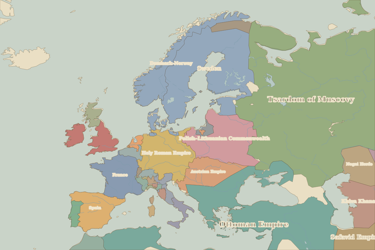
Who ruled this place
Derived from the border maps; each row runs until the next recorded border change.
| Period | State |
|---|---|
| 500 BC–401 BC | Unclaimed / no data |
| 400 BC–324 BC | Hallstatt culture |
| 323 BC–2 BC | Unclaimed / no data |
| 1 BC–99 | Roman Empire |
| 100–699 | Unclaimed / no data |
| 700–799 | Proto-Slavs |
| 800–899 | Slavonic tribes |
| 900–999 | Slavic tribes |
| 1000–1782 | Holy Roman Empire |
| 1783–1879 | Saxony |
| 1880–1913 | Germany |
| 1914–1919 | German Empire |
| 1920–1944 | Germany |
| 1945–1959 | Germany (Soviet) |
| 1960–1993 | East Germany |
| 1994–today | Germany |
Other landmarks nearby
 Charles BridgeStanding · 1357
 Berlin PalaceRebuilt · 1443
 Brandenburg GateStanding · 1791
 Schönbrunn PalaceStanding · 1743
 Neuschwanstein CastleStanding · 1886
 Wawel CastleStanding · 1500
Battles and sites nearby
- Wittenberg · 1517
- Battle of the White Mountain · 1620
- Battle of Lützen · 1632
- Battle of Leipzig · 1813