Charles Bridge: Then and Now
Stone bridge over the Vltava begun under Charles IV in 1357; its baroque statues were added from about 1700.
Historical view


Today


Key facts
| Country today | Czech Republic |
| Status | Standing |
| Date | 1357 |
| Nearest city on the map | Vienna (about 253 km) |
| Location | 50.087° N, 14.411° E |
 Charles Bridge
Open Charles Bridge in the interactive map
Who ruled this place
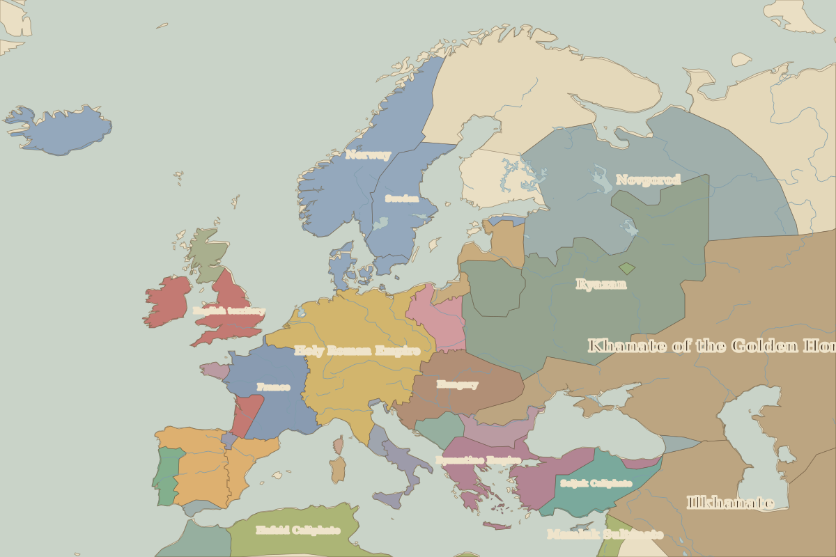
Derived from the border maps; each row runs until the next recorded border change.
| Period | State |
|---|---|
| 500 BC–401 BC | Unclaimed / no data |
| 400 BC–324 BC | Hallstatt culture |
| 323 BC–699 | Unclaimed / no data |
| 700–899 | Czechs |
| 900–999 | Great Moravia |
| 1000–1099 | Holy Roman Empire |
| 1100–1299 | Poland |
| 1300–1782 | Holy Roman Empire |
| 1783–1879 | Austrian Empire |
| 1880–1913 | Austria Hungary |
| 1914–1919 | Austro-Hungarian Empire |
| 1920–1993 | Czechoslovakia |
| 1994–today | Czech Republic |
Other landmarks nearby
 Dresden FrauenkircheRebuilt · 1743
 Schönbrunn PalaceStanding · 1743
 Berlin PalaceRebuilt · 1443
 Brandenburg GateStanding · 1791
 Neuschwanstein CastleStanding · 1886
 Wawel CastleStanding · 1500
Battles and sites nearby
- Battle of the White Mountain · 1620