Wawel Castle: Then and Now
Royal castle of Kraków, rebuilt in Renaissance style in the early 16th century; Polish kings were crowned and buried on Wawel Hill.
Historical view


Today


Key facts
| Country today | Poland |
| Status | Standing |
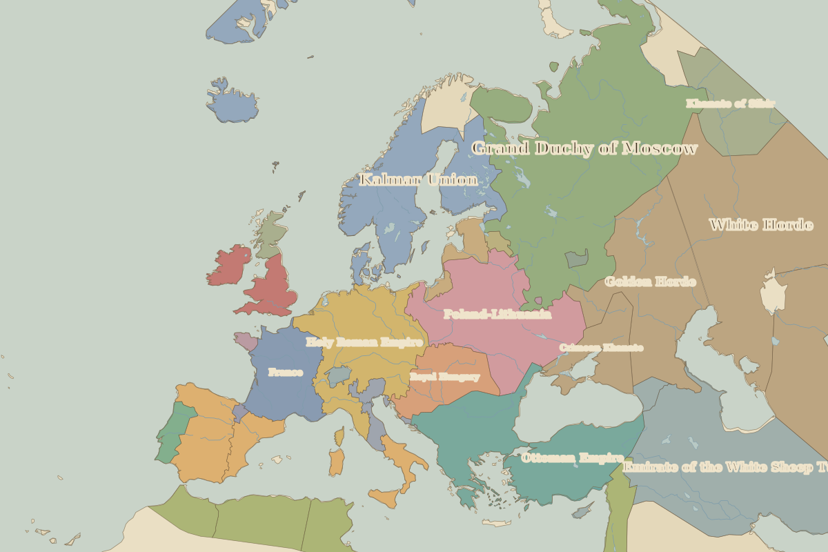
| Date | 1500 |
| Nearest city on the map | Warsaw (about 253 km) |
| Location | 50.054° N, 19.936° E |
 Wawel Castle
Open Wawel Castle in the interactive map
Who ruled this place
Derived from the border maps; each row runs until the next recorded border change.
| Period | State |
|---|---|
| 500 BC–199 | Bell-shaped burials culture |
| 200–699 | Unclaimed / no data |
| 700–799 | Proto-Slavs |
| 800–899 | Slavonic tribes |
| 900–999 | Great Moravia |
| 1000–1399 | Poland |
| 1400–1649 | Poland-Lithuania |
| 1650–1782 | Polish–Lithuanian Commonwealth |
| 1783–1814 | Austrian Empire |
| 1815–1879 | Republic of Kraków |
| 1880–1913 | Austria Hungary |
| 1914–1919 | Austro-Hungarian Empire |
| 1920–today | Poland |
Other landmarks nearby
 Buda CastleRebuilt · 1265
 Schönbrunn PalaceStanding · 1743
 Charles BridgeStanding · 1357
 Malbork CastleStanding · 1309
 Dresden FrauenkircheRebuilt · 1743