Buda Castle: Then and Now
Palace of the Hungarian kings on Castle Hill, first built in the 13th century and destroyed and rebuilt several times, most recently after 1945.
Before


Today


Key facts
| Country today | Hungary |
| Status | Rebuilt |
| Date | 1265 |
| Nearest city on the map | Vienna (about 214 km) |
| Location | 47.496° N, 19.040° E |
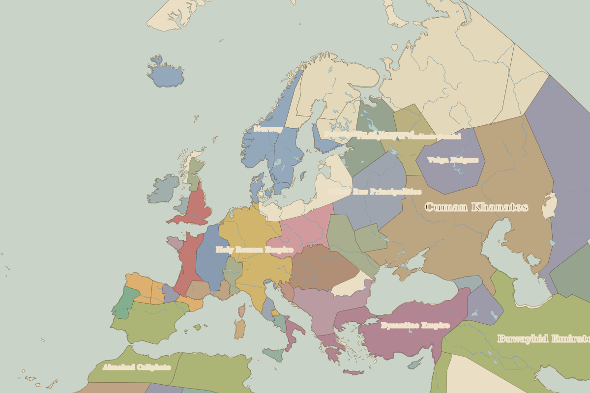 Buda Castle
Open Buda Castle in the interactive map
Who ruled this place
Derived from the border maps; each row runs until the next recorded border change.
| Period | State |
|---|---|
| 500 BC–401 BC | Unclaimed / no data |
| 400 BC–324 BC | Hallstatt culture |
| 323 BC–2 BC | Unclaimed / no data |
| 1 BC–299 | Bohemia (Marcomanni) |
| 300–399 | Rome (Galerius) |
| 400–499 | Western Roman Empire |
| 500–599 | Ostrogoths |
| 600–799 | Avars |
| 800–899 | Slavonic tribes |
| 900–999 | Great Moravia |
| 1000–1099 | Magyars |
| 1100–1399 | Hungary |
| 1400–1491 | Kingdom of Hungary |
| 1492–1599 | Royal Hungary |
| 1600–1699 | Ottoman Empire |
| 1700–1879 | Austrian Empire |
| 1880–1913 | Austria Hungary |
| 1914–1919 | Austro-Hungarian Empire |
| 1920–today | Hungary |
Other landmarks nearby
 Schönbrunn PalaceStanding · 1743
 Wawel CastleStanding · 1500
 Charles BridgeStanding · 1357
 Diocletian's PalaceRuins · AD 305