Diocletian's Palace: Then and Now
Retirement palace of Emperor Diocletian, built around AD 305; its walls now enclose the old town of Split.
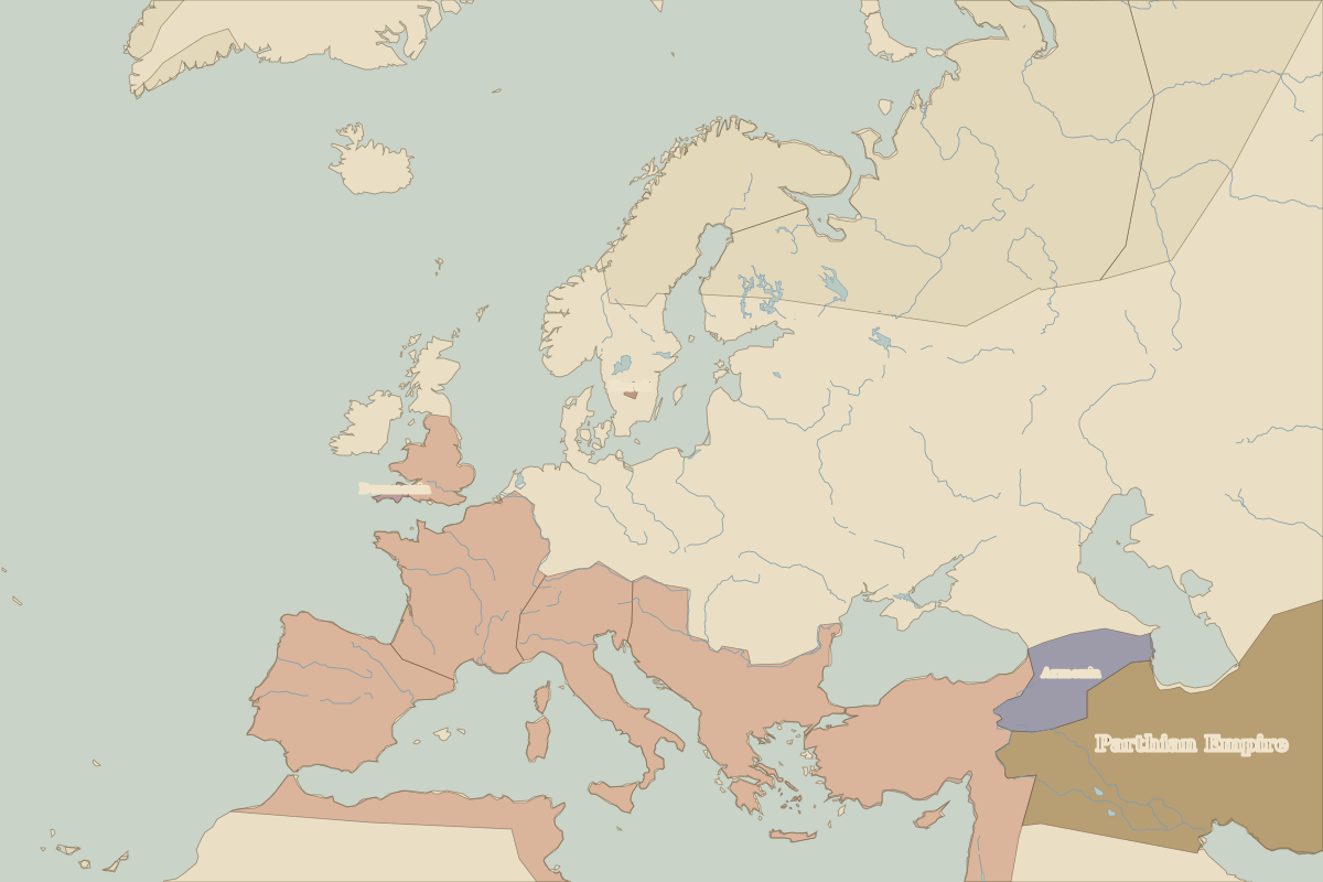
As it was


The ruins today


Key facts
| Country today | Croatia |
| Status | Ruins |
| Date | AD 305 |
| Nearest city on the map | Naples (about 345 km) |
| Location | 43.508° N, 16.440° E |
 Diocletian's Palace
Open Diocletian's Palace in the interactive map
Who ruled this place
Derived from the border maps; each row runs until the next recorded border change.
| Period | State |
|---|---|
| 500 BC–401 BC | Illyrians |
| 400 BC–324 BC | Hallstatt culture |
| 323 BC–2 BC | Unclaimed / no data |
| 1 BC–299 | Roman Empire |
| 300–399 | Rome (Galerius) |
| 400–499 | Western Roman Empire |
| 500–599 | Ostrogoths |
| 600–799 | Eastern Roman Empire |
| 800–899 | Byzantine Empire |
| 900–999 | Croatian kingdom |
| 1000–1299 | Croatia |
| 1300–1399 | Hungary |
| 1400–1491 | Kingdom of Hungary |
| 1492–1599 | Venice |
| 1600–1699 | Ottoman Empire |
| 1700–1879 | Austrian Empire |
| 1880–1913 | Austria Hungary |
| 1914–1919 | Austro-Hungarian Empire |
| 1920–1993 | Yugoslavia |
| 1994–today | Croatia |
Other landmarks nearby
 ColosseumRuins · AD 80
 PantheonStanding · AD 125
 St. Peter's BasilicaRebuilt · 1626
 St Mark's BasilicaStanding · 1092
 Florence CathedralStanding · 1436
 Leaning Tower of PisaStanding · 1372