Colosseum: Then and Now
The Flavian Amphitheatre, opened in AD 80 and able to seat some 50,000 spectators for gladiator games. Earthquakes and stone robbing reduced it to its present ruin.
As it was


The ruins today


Key facts
| Country today | Italy |
| Status | Ruins |
| Date | AD 80 |
| Nearest city on the map | Rome (about 1 km) |
| Location | 41.890° N, 12.492° E |
 Colosseum
Open Colosseum in the interactive map
Who ruled this place
Derived from the border maps; each row runs until the next recorded border change.
| Period | State |
|---|---|
| 500 BC–401 BC | Rome |
| 400 BC–324 BC | Roman Republic |
| 323 BC–301 BC | Rome |
| 300 BC–201 BC | Roman Republic |
| 200 BC–101 BC | Rome |
| 100 BC–2 BC | Roman Republic |
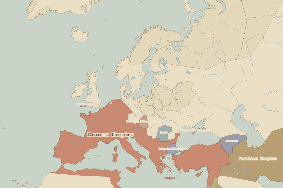
| 1 BC–299 | Roman Empire |
| 300–399 | Rome (Maximian) |
| 400–499 | Western Roman Empire |
| 500–599 | Ostrogoths |
| 600–799 | Eastern Roman Empire |
| 800–899 | Papal States |
| 900–999 | Carolingian Empire |
| 1000–1099 | Holy Roman Empire |
| 1100–1879 | Papal States |
| 1880–1913 | Italy |
| 1914–1919 | Kingdom of Italy |
| 1920–today | Italy |
Other landmarks nearby
 PantheonStanding · AD 125
 St. Peter's BasilicaRebuilt · 1626
 Florence CathedralStanding · 1436
 Leaning Tower of PisaStanding · 1372
 Diocletian's PalaceRuins · AD 305
 St Mark's BasilicaStanding · 1092
Battles and sites nearby
- Battle of the Milvian Bridge · AD 312