Battle of Weihaiwei 1895
Japanese land and sea forces trap Weihaiwei and destroy the Beiyang Fleet; the First Sino-Japanese War ends in Qing defeat.
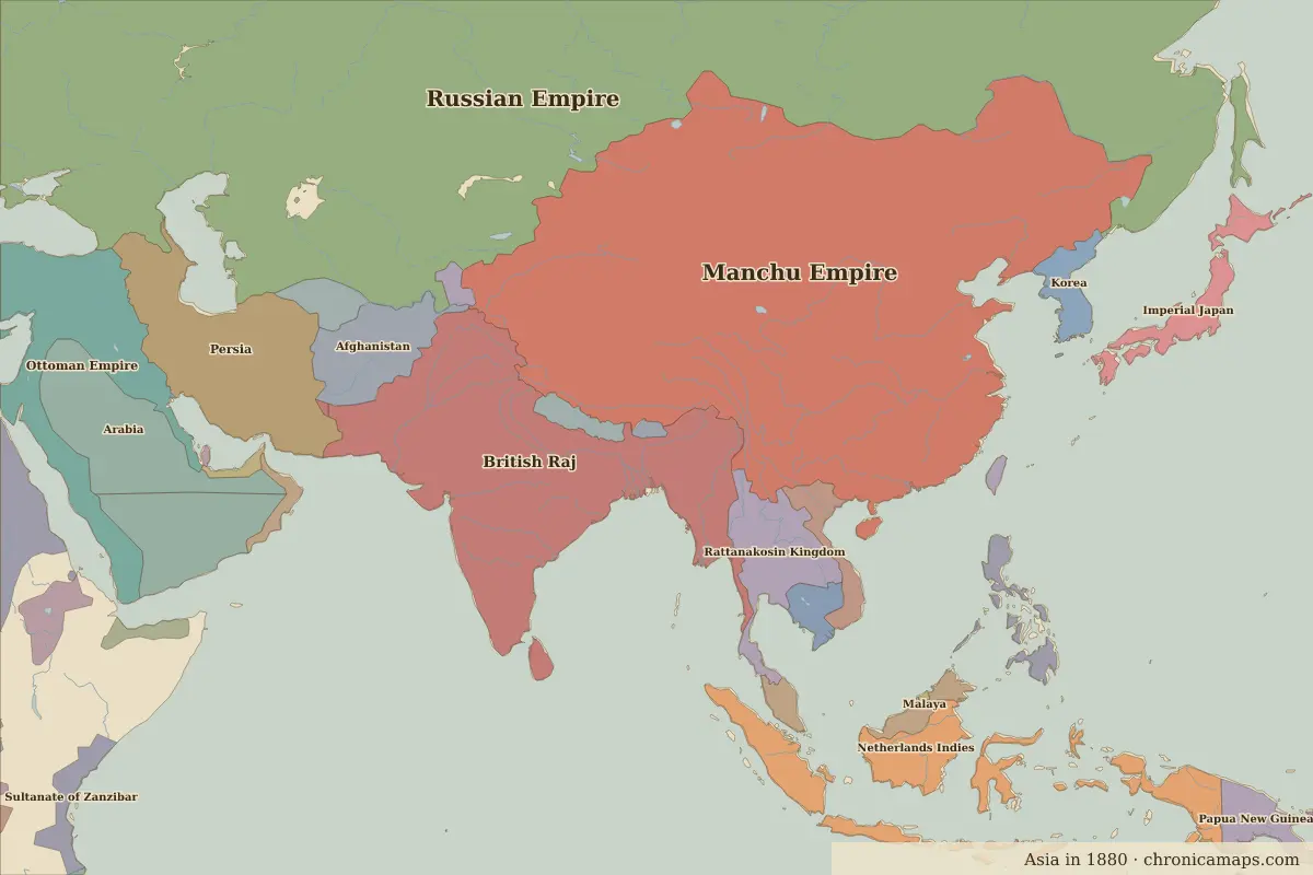 Weihaiwei
Open Battle of Weihaiwei in the interactive map
Key facts
| Date | 1895 |
| Type | Battle |
| Location | 37.50° N, 122.10° E |
| Nearest city on the map | Kaesong (about 395 km) |
| Territory of (map of 1880) | Manchu Empire |
Rulers in 1895
| Realm | Ruler | Reign |
|---|---|---|
| Rus' / Russia | Nicholas II | 1894–1917 |
| Ottomans / Turkey | Abdul Hamid II | 1876–1909 |
| China | Guangxu Emperor | 1875–1908 |
| Japan (de facto ruler) | Emperor Meiji | 1867–1912 |
| India | Queen Victoria | 1858–1901 |
Further reading
Who was alive at the time
| Lived | Person | |
|---|---|---|
| 1835 – 1908 | Empress Dowager Cixi | De facto ruler of Qing China |
| 1852 – 1912 | Emperor Meiji | Emperor of Japan |
| 1866 – 1925 | Sun Yat-sen | Founder of the Republic of China |
| 1890 – 1969 | Ho Chi Minh | Vietnamese revolutionary leader |
Last updated 9 November 2026. Sources: border data from historical-basemaps, land and rivers from Natural Earth; texts written for Chronica Maps from standard reference works. How we make the maps.