Panama Canal 1914
The United States completes the canal linking the Atlantic and Pacific, sparing ships the voyage round Cape Horn.
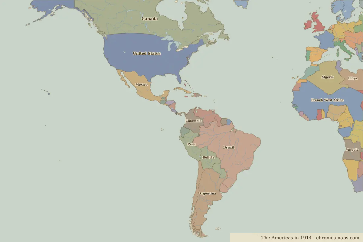 Panama Canal
Open Panama Canal in the interactive map
Key facts
| Date | 1914 |
| Type | Historic site or event |
| Location | 9.08° N, 79.68° W |
| Nearest city on the map | Cartagena (about 480 km) |
| Territory of (map of 1914) | Panama |
Rulers in 1914
| Realm | Ruler | Reign |
|---|---|---|
| United States | Woodrow Wilson | 1913–1921 |
The world around 1914
| Year | Event | Where |
|---|---|---|
| 1910 | The Mexican Revolution | Mexico City |
Further reading
Last updated 9 November 2026. Sources: border data from historical-basemaps, land and rivers from Natural Earth; texts written for Chronica Maps from standard reference works. How we make the maps.