Battle of Iwo Jima 1945
US Marines fight more than a month for the volcanic island; the flag-raising on Mount Suribachi becomes one of the war's best-known photographs.
 Iwo Jima
Open Battle of Iwo Jima in the interactive map
Key facts
| Date | 1945 |
| Type | Battle |
| Location | 24.78° N, 141.32° E |
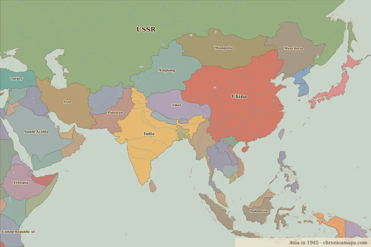
| Territory of (map of 1945) | Unclaimed / no data |
Rulers in 1945
| Realm | Ruler | Reign |
|---|---|---|
| Rus' / Russia | Stalin | 1924–1953 |
| China | Chiang Kai-shek | 1928–1949 |
| Japan (de facto ruler) | Emperor Shōwa (Hirohito) | 1926–1989 |
The world around 1945
| Year | Event | Where |
|---|---|---|
| 1942 | Fall of Singapore | Singapore |
| 1945 | Atomic bombing of Hiroshima | Hiroshima |
| 1945 | Battles of Iwo Jima and Okinawa | Battle of Okinawa |
| 1947 | Partition and Indian independence | Delhi |
| 1949 | The People's Republic of China is proclaimed | Beijing |
| 1950 | The Incheon landing | Battle of Incheon |
Further reading
Last updated 9 November 2026. Sources: border data from historical-basemaps, land and rivers from Natural Earth; texts written for Chronica Maps from standard reference works. How we make the maps.