James Cook
Made three Pacific voyages, charted New Zealand, landed at Botany Bay on Australia’s east coast and was killed in Hawaiʻi in 1779.
| Lived | 1728 – 1779 |
| Known as | Navigator |
| Birthplace or main place | Marton, Yorkshire |
| Places on the map | Sydney, Honolulu, Wellington |
 Marton, Yorkshire
See the world of James Cook in the interactive map
Who ruled these places in his lifetime
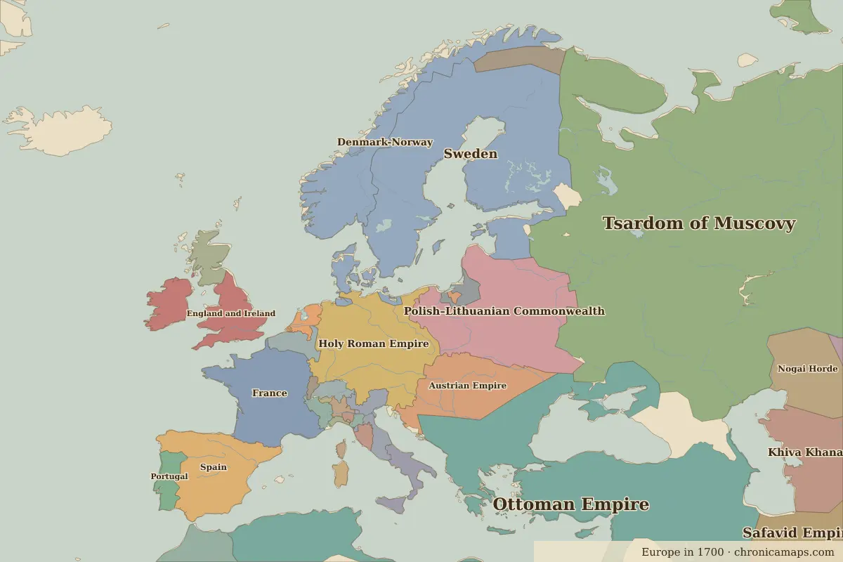
| Place | At birth (map of 1700) | At death (map of 1700) |
|---|---|---|
| Marton, Yorkshire | England and Ireland | same |
| Sydney | Eora | same |
| Honolulu | Polynesians | same |
| Wellington | Maori | same |
From the border maps nearest to each date; borders are approximate.
Further reading
Contemporaries
| Lived | Person | |
|---|---|---|
| 1706 – 1790 | Benjamin Franklin | Scientist and statesman |
| 1711 – 1799 | Qianlong Emperor | Qing emperor |
| 1724 – 1804 | Immanuel Kant | Philosopher |
| 1694 – 1778 | Voltaire | Enlightenment writer |
| 1712 – 1778 | Jean-Jacques Rousseau | Philosopher |
| 1729 – 1796 | Catherine the Great | Empress of Russia |
| 1732 – 1799 | George Washington | First president of the United States |
| 1743 – 1826 | Thomas Jefferson | Third president of the United States |
| 1746 – 1792 | Tiradentes | Forerunner of Brazilian independence |
| 1749 – 1832 | Johann Wolfgang von Goethe | Writer |
Last updated 9 November 2026. Sources: border data from historical-basemaps, land and rivers from Natural Earth; texts written for Chronica Maps from standard reference works. How we make the maps.