Christopher Columbus
Genoese navigator who crossed the Atlantic for the Spanish monarchs in 1492 and reached the Caribbean, beginning European colonisation of the Americas.
| Lived | 1451 – 1506 |
| Known as | Navigator |
| Birthplace or main place | Genoa |
| Places on the map | Genoa, Seville, Santo Domingo |
 Genoa
See the world of Christopher Columbus in the interactive map
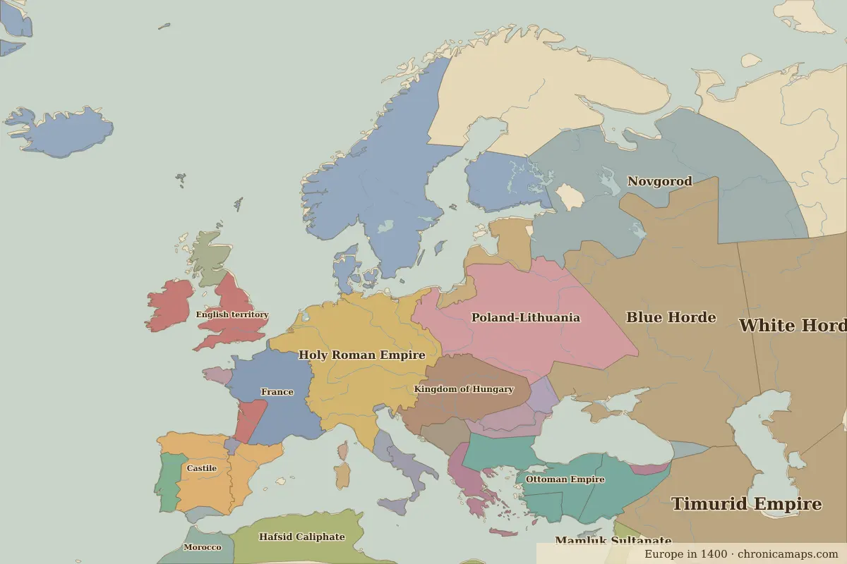
Who ruled these places in his lifetime
| Place | At birth (map of 1400) | At death (map of 1500) |
|---|---|---|
| Genoa | Holy Roman Empire | same |
| Seville | Castile | Castile |
| Santo Domingo | Taino | Unclaimed / no data |
From the border maps nearest to each date; borders are approximate.
Events in his lifetime
| Year | Event | Where |
|---|---|---|
| 1496 | Bartholomew Columbus founds the city | Santo Domingo |
| 1503 | The Casa de Contratación monopolises trade with the Americas | Seville |
Further reading
Contemporaries
| Lived | Person | |
|---|---|---|
| c. 1443 – 1538 | Askia Muhammad | Emperor of Songhai |
| 1452 – 1519 | Leonardo da Vinci | Painter and inventor |
| 1449 – 1492 | Lorenzo de’ Medici | Ruler of Florence |
| c. 1466 – 1520 | Moctezuma II | Aztec emperor |
| c. 1469 – 1524 | Vasco da Gama | Navigator |
| 1469 – 1527 | Niccolò Machiavelli | Political thinker |
| 1471 – 1528 | Albrecht Dürer | Painter and printmaker |
| 1471 – 1529 | Krishnadevaraya | Emperor of Vijayanagara |
| 1473 – 1543 | Nicolaus Copernicus | Astronomer |
| 1475 – 1564 | Michelangelo | Sculptor, painter and architect |
Last updated 9 November 2026. Sources: border data from historical-basemaps, land and rivers from Natural Earth; texts written for Chronica Maps from standard reference works. How we make the maps.