Tuileries Palace: Then and Now
Royal palace begun in 1564 for Catherine de' Medici, later home to Louis XVI and Napoleon. Burned during the Paris Commune in 1871 and demolished in 1883; its gardens remain.
As it was


The site today


Key facts
| Country today | France |
| Status | Lost |
| Date | 1564 |
| Nearest city on the map | Paris (about 1 km) |
| Location | 48.862° N, 2.330° E |
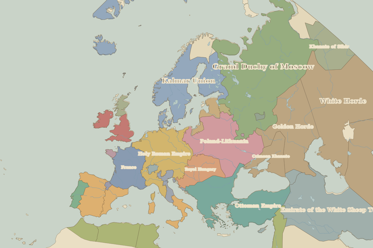 Tuileries Palace
Open Tuileries Palace in the interactive map
Who ruled this place
Derived from the border maps; each row runs until the next recorded border change.
| Period | State |
|---|---|
| 500 BC–401 BC | Unclaimed / no data |
| 400 BC–324 BC | Hallstatt culture |
| 323 BC–2 BC | Unclaimed / no data |
| 1 BC–299 | Roman Empire |
| 300–399 | Rome (Constantinus) |
| 400–499 | Western Roman Empire |
| 500–599 | Franks |
| 600–799 | Frankish Kingdom |
| 800–899 | Carolingian Empire |
| 900–999 | West Francia |
| 1000–1299 | Kingdom of France |
| 1300–today | France |
Other landmarks nearby
 Notre-Dame de ParisStanding · 1163
 BastilleLost · 1370
 Mont-Saint-MichelStanding · AD 966
 Tower of LondonStanding · 1078
 Old London BridgeLost · 1209
 St Paul's CathedralRebuilt · 1711
Battles and sites nearby
- Battle of the Catalaunian Plains · AD 451
- Battle of Orléans · 1429
- Battle of the Somme · 1916
- Versailles · 1919