Old London Bridge: Then and Now
The medieval stone bridge, completed in 1209 and lined with houses and shops, stood for over 600 years until it was replaced in 1831. Today's London Bridge opened in 1973.
As it was


The site today


Key facts
| Country today | United Kingdom |
| Status | Lost |
| Date | 1209 |
| Nearest city on the map | London (about 2 km) |
| Location | 51.508° N, -0.088° E |
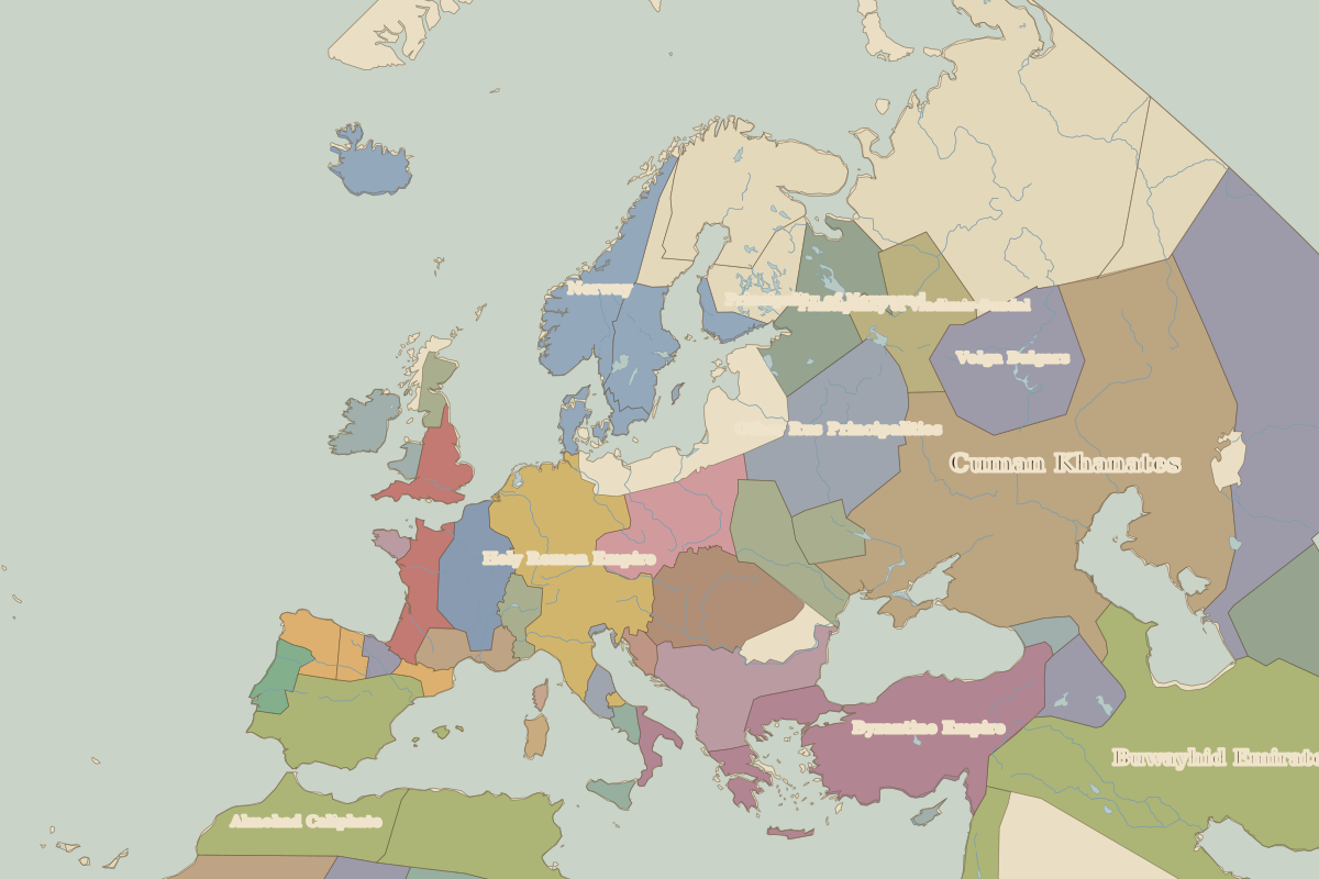 Old London Bridge
Open Old London Bridge in the interactive map
Who ruled this place
Derived from the border maps; each row runs until the next recorded border change.
| Period | State |
|---|---|
| 500 BC–401 BC | Unclaimed / no data |
| 400 BC–2 BC | Celts |
| 1 BC–99 | Unclaimed / no data |
| 100–299 | Roman Empire |
| 300–399 | Rome (Constantinus) |
| 400–499 | Western Roman Empire |
| 500–599 | Anglo-Saxons |
| 600–799 | Cantia |
| 800–999 | Essex |
| 1000–1199 | England |
| 1200–1299 | Angevin Empire |
| 1300–1491 | English territory |
| 1492–1599 | England |
| 1600–1782 | England and Ireland |
| 1783–1814 | United Kingdom |
| 1815–1937 | United Kingdom of Great Britain and Ireland |
| 1938–today | United Kingdom |
Other landmarks nearby
 Tower of LondonStanding · 1078
 St Paul's CathedralRebuilt · 1711
 StonehengeRuins · 500 BC
 Mont-Saint-MichelStanding · AD 966
 Tuileries PalaceLost · 1564
 Notre-Dame de ParisStanding · 1163
Battles and sites nearby
- Battle of Hastings · 1066
- Runnymede · 1215