Tikal: Then and Now
One of the largest Classic Maya cities, whose temple pyramids rise above the rainforest of northern Guatemala.
As it was


The ruins today


Key facts
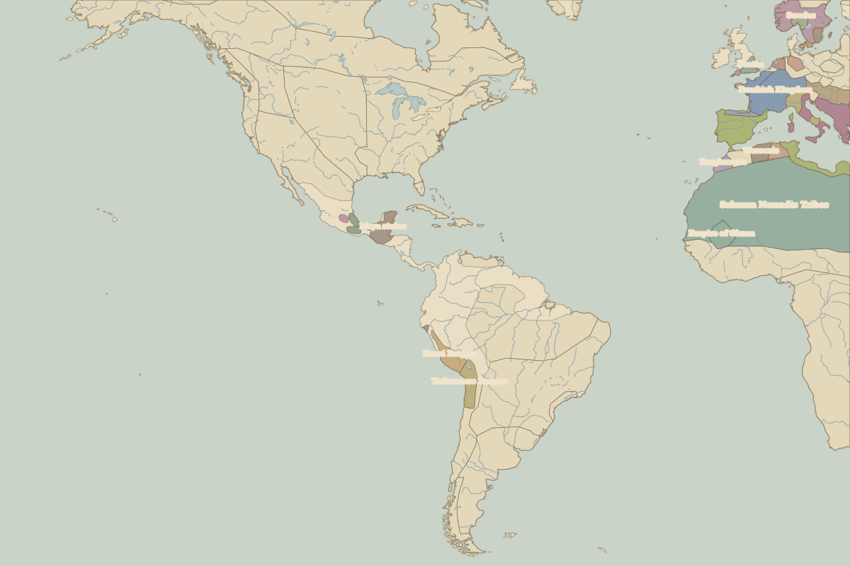 Tikal
Open Tikal in the interactive map
Who ruled this place
Derived from the border maps; each row runs until the next recorded border change.
| Period | State |
|---|---|
| 500 BC–324 BC | Maize farmers |
| 323 BC–499 | Maya chiefdoms and states |
| 500–799 | Maya states |
| 800–1491 | Maya city-states |
| 1492–1499 | Maya Yucateco |
| 1500–1599 | Maya city-states |
| 1600–1879 | Viceroyalty of New Spain |
| 1880–today | Guatemala |
Other landmarks nearby
 Chichén ItzáRuins · AD 900
Battles and sites nearby
- Tikal · AD 695