Tikal AD 695
One of the most powerful Classic Maya city-states, revived after defeating its rival Calakmul in 695.
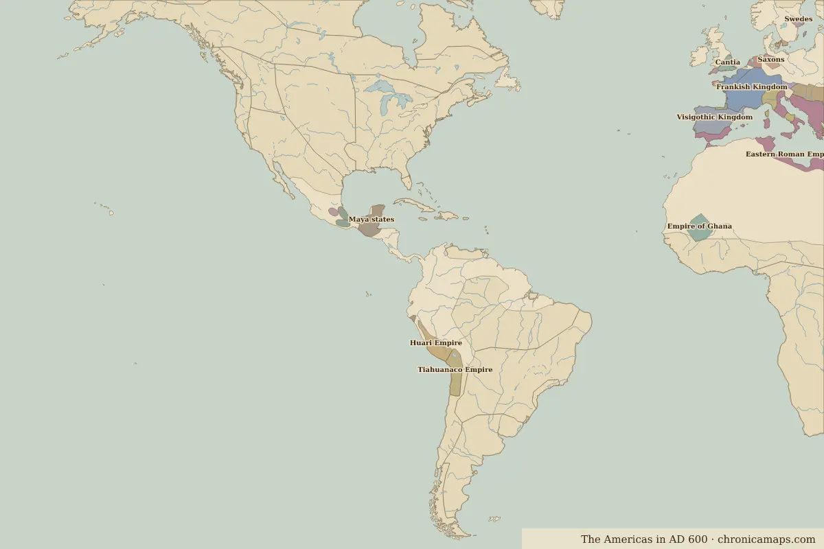 Tikal
Open Tikal in the interactive map
Key facts
| Date | AD 695 |
| Type | Historic site or event |
| Location | 17.22° N, 89.62° W |
| Territory of (map of AD 600) | Maya states |
Further reading
Last updated 9 November 2026. Sources: border data from historical-basemaps, land and rivers from Natural Earth; texts written for Chronica Maps from standard reference works. How we make the maps.