Petra: Then and Now
Rock-cut city of the Nabataeans in southern Jordan; its best-known facade, the Treasury, was carved in the first century AD.
The ruins today


Key facts
| Country today | Jordan |
| Status | Ruins |
| Date | AD 50 |
| Nearest city on the map | Jerusalem (about 163 km) |
| Location | 30.328° N, 35.444° E |
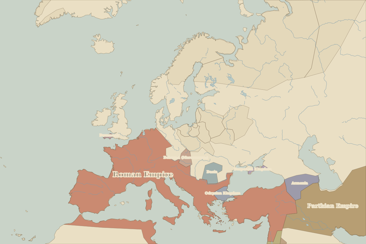 Petra
Open Petra in the interactive map
Who ruled this place
Derived from the border maps; each row runs until the next recorded border change.
| Period | State |
|---|---|
| 500 BC–324 BC | Achaemenid Empire |
| 323 BC–301 BC | Empire of Alexander |
| 300 BC–199 | Nabatean Kingdom |
| 200–299 | Roman Empire |
| 300–399 | Rome (Diocletianus) |
| 400–699 | Eastern Roman Empire |
| 700–799 | Umayyad Caliphate |
| 800–999 | Abbasid Caliphate |
| 1000–1299 | Fatimid Caliphate |
| 1300–1599 | Mamluk Sultanate |
| 1600–1919 | Ottoman Empire |
| 1920–1944 | Mesopotamia (GB) |
| 1945–today | Jordan |
Other landmarks nearby
 Great Pyramid of GizaStanding · 2560 BC