Parthenon: Then and Now
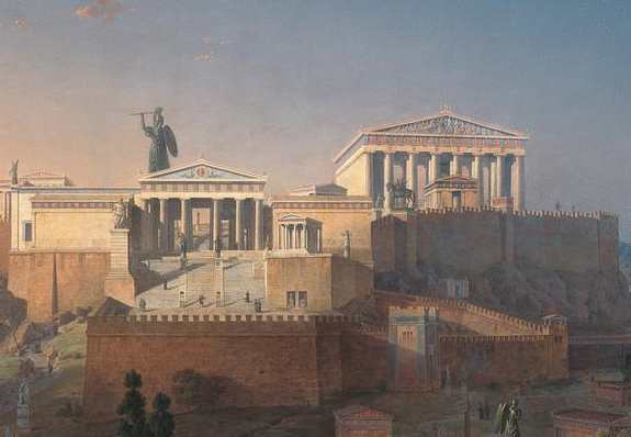
Temple of Athena on the Athenian Acropolis, completed in 438 BC under Pericles. It later served as a church, a mosque and an Ottoman powder store, and was shattered by a Venetian shell in 1687.
As it was

The ruins today


Key facts
| Country today | Greece |
| Status | Ruins |
| Date | 438 BC |
| Nearest city on the map | İzmir (about 302 km) |
| Location | 37.971° N, 23.727° E |
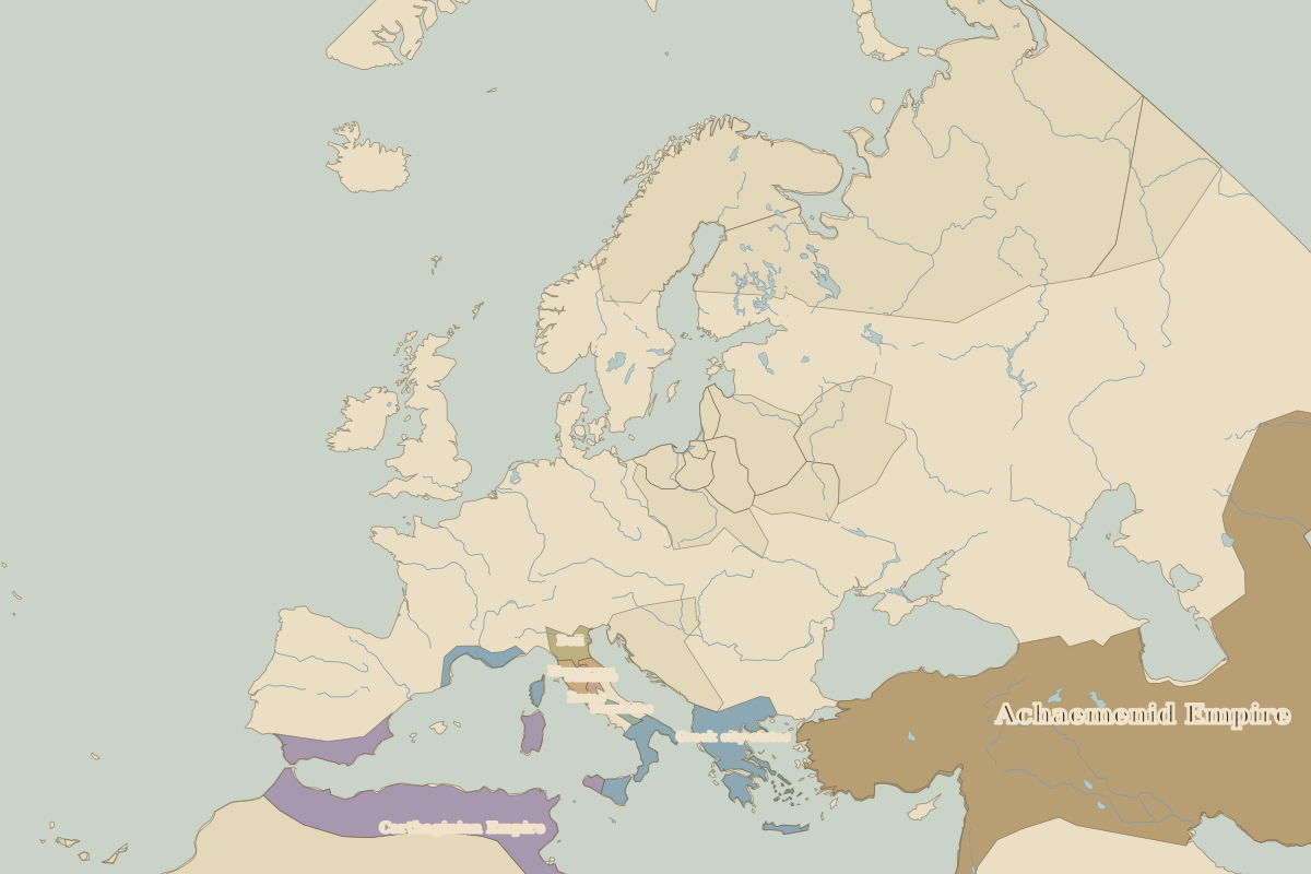 Parthenon
Open Parthenon in the interactive map
Who ruled this place
Derived from the border maps; each row runs until the next recorded border change.
| Period | State |
|---|---|
| 500 BC–324 BC | Greek city-states |
| 323 BC–301 BC | Empire of Alexander |
| 300 BC–201 BC | Kingdom of Antigonus |
| 200 BC–101 BC | Macedon and Hellenic League |
| 100 BC–2 BC | Roman Republic |
| 1 BC–299 | Roman Empire |
| 300–399 | Rome (Galerius) |
| 400–799 | Eastern Roman Empire |
| 800–1491 | Byzantine Empire |
| 1492–1879 | Ottoman Empire |
| 1880–today | Greece |
Other landmarks nearby
 DelphiRuins · 500 BC
 MeteoraStanding · 1344
 Mausoleum at HalicarnassusLost · 350 BC
 Colossus of RhodesLost · 280 BC
 Rila MonasteryStanding · AD 927
Battles and sites nearby
- Battle of Marathon · 490 BC
- Battle of Thermopylae · 480 BC
- Battle of Salamis · 480 BC