Meteora: Then and Now
Eastern Orthodox monasteries built on sandstone pillars in Thessaly from the 14th century; six are still in use.
Today


Key facts
| Country today | Greece |
| Status | Standing |
| Date | 1344 |
| Nearest city on the map | Thessaloniki (about 151 km) |
| Location | 39.722° N, 21.631° E |
 Meteora
Open Meteora in the interactive map
Who ruled this place
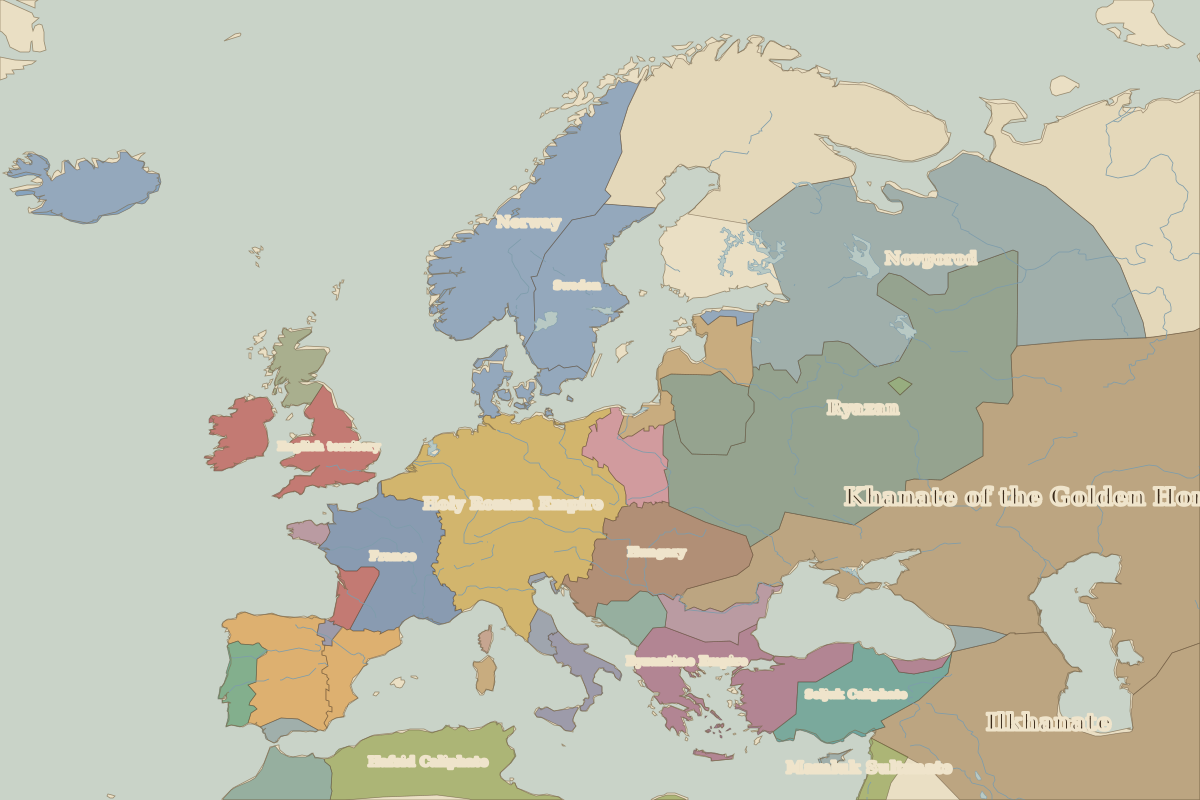
Derived from the border maps; each row runs until the next recorded border change.
| Period | State |
|---|---|
| 500 BC–324 BC | Greek city-states |
| 323 BC–301 BC | Empire of Alexander |
| 300 BC–201 BC | Kingdom of Kassander |
| 200 BC–101 BC | Macedon and Hellenic League |
| 100 BC–2 BC | Roman Republic |
| 1 BC–299 | Roman Empire |
| 300–399 | Rome (Galerius) |
| 400–499 | Visigoths |
| 500–799 | Eastern Roman Empire |
| 800–999 | Byzantine Empire |
| 1000–1299 | Bulgar Khanate |
| 1300–1491 | Byzantine Empire |
| 1492–1879 | Ottoman Empire |
| 1880–today | Greece |
Other landmarks nearby
 DelphiRuins · 500 BC
 ParthenonRuins · 438 BC
 Rila MonasteryStanding · AD 927
Battles and sites nearby
- Battle of Thermopylae · 480 BC
- Battle of Pharsalus · 48 BC
- Battle of Actium · 31 BC